File:Topographic map of Okinawa Island.png
Jump to navigation
Jump to search
Size of this preview: 498 × 600 pixels. Other resolutions: 199 × 240 pixels | 399 × 480 pixels | 638 × 768 pixels | 1,117 × 1,345 pixels.
Original file (1,117 × 1,345 pixels, file size: 1.04 MB, MIME type: image/png)
File history
Click on a date/time to view the file as it appeared at that time.
| Date/Time | Thumbnail | Dimensions | User | Comment | |
|---|---|---|---|---|---|
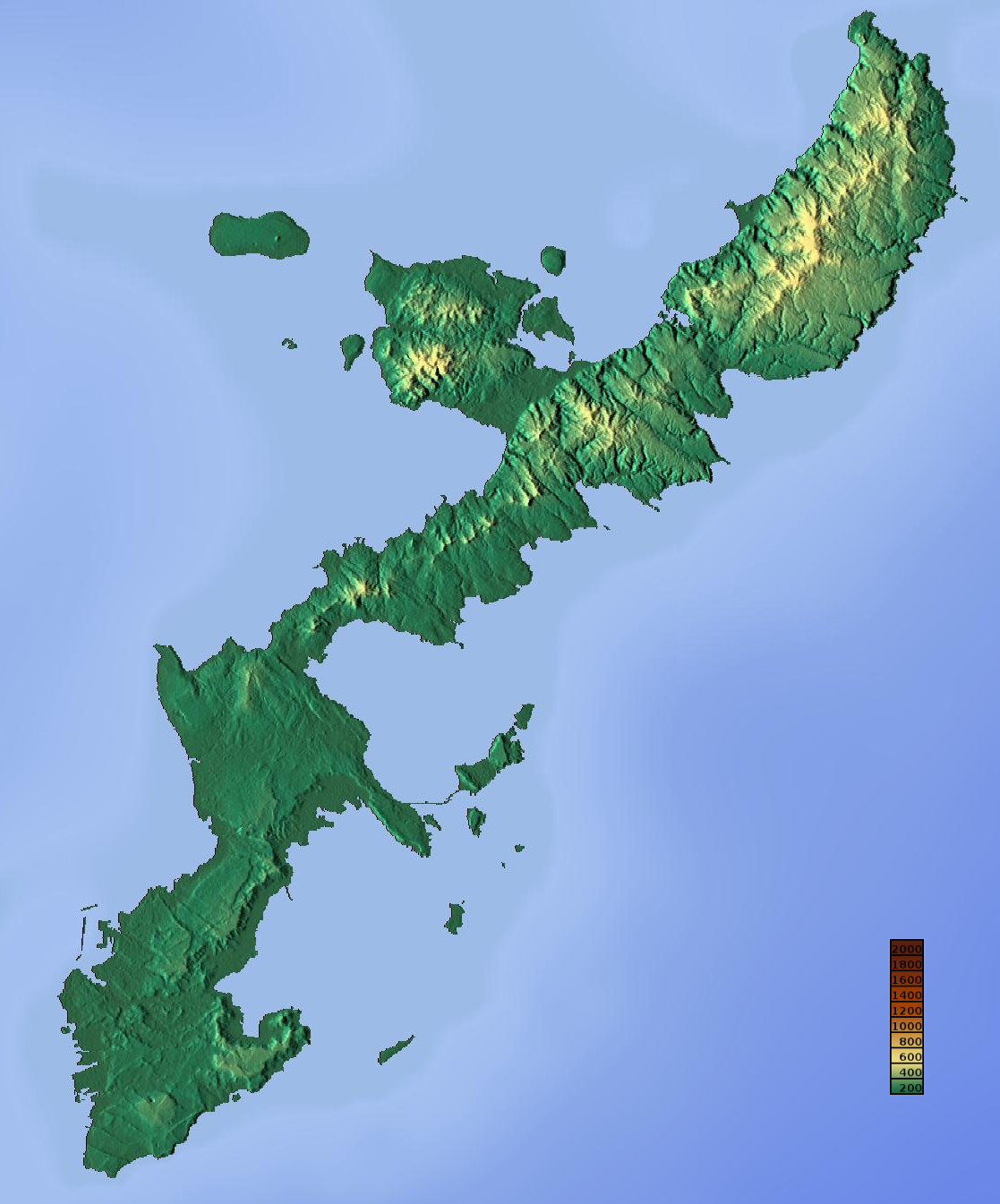
| current | 05:53, 8 May 2014 | | 1,117 × 1,345 (1.04 MB) | commons>Kugel~commonswiki | {{Information |Description ={{en|1=Topographic map of Okinawa Island.}} {{ja|1=沖縄島の地形図}} |Source =http://www.maps-for-free.com/ |Author =Retouched by Kugel |Date =2014-05-08 |Permission =htt... |
File usage
There are no pages that use this file.