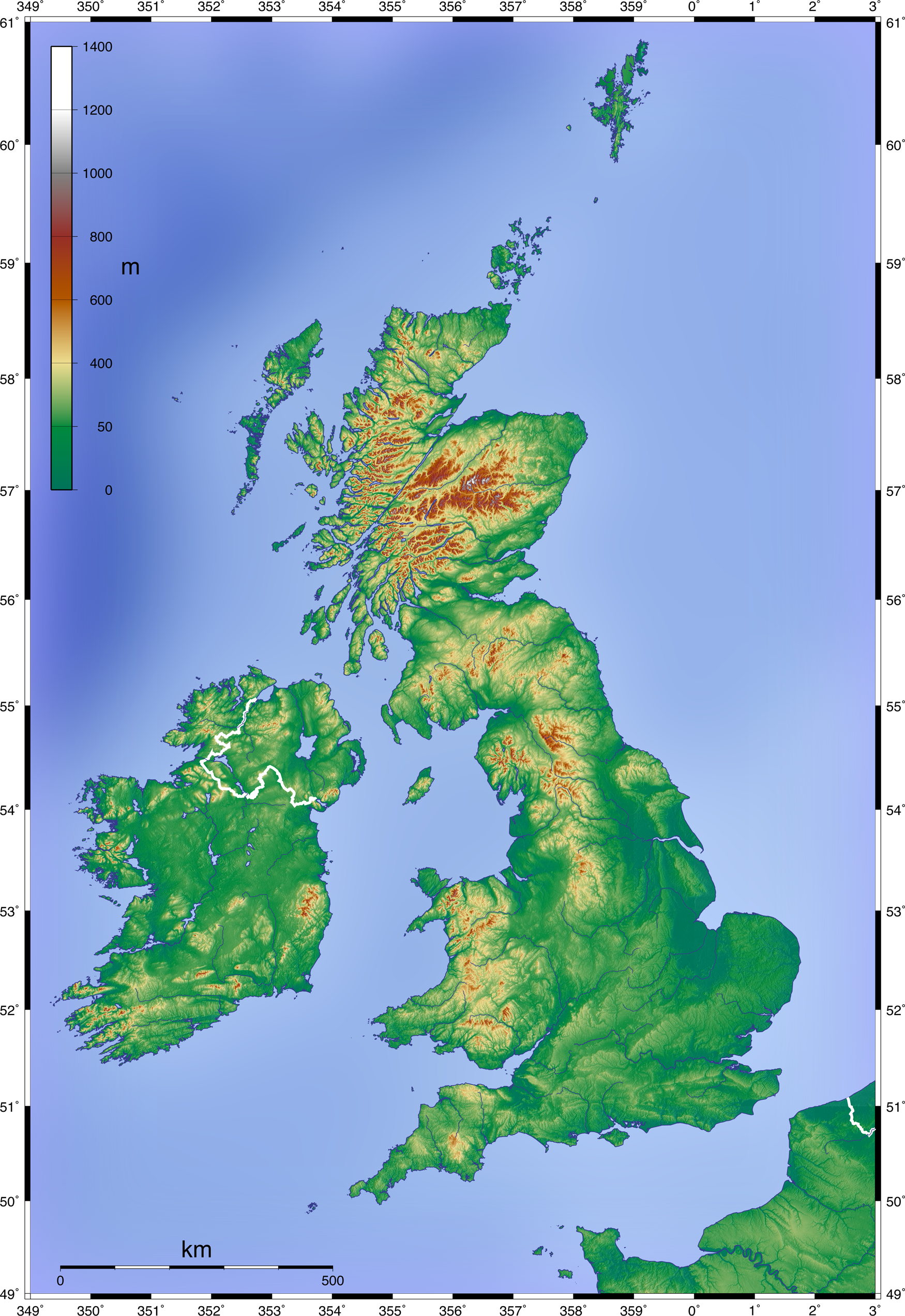
File:Topographic Map of the UK - Blank.png
Jump to navigation
Jump to search
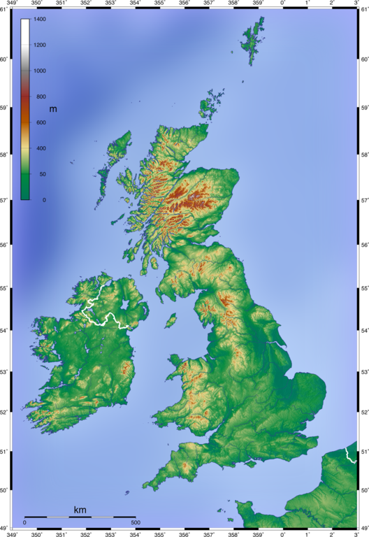
Size of this preview: 412 × 599 pixels. Other resolutions: 165 × 240 pixels | 330 × 480 pixels | 528 × 768 pixels | 704 × 1,024 pixels | 1,750 × 2,545 pixels.
Original file (1,750 × 2,545 pixels, file size: 3.63 MB, MIME type: image/png)
File history
Click on a date/time to view the file as it appeared at that time.
| Date/Time | Thumbnail | Dimensions | User | Comment | |
|---|---|---|---|---|---|
| current | 13:07, 11 June 2008 | | 1,750 × 2,545 (3.63 MB) | commons>Equestenebrarum | {{Information |Description={{en|1=Topographic Map of the UK; Mercator projection, 1.750 x 2.545 px (blank w/out dots)}} {{de|1=Topographische Karte Großbritanniens; Mercator-Projektion, 1.750 x 2.545 px (unbeschriftet, ohne Punkte)}} |Source=Own work by |
File usage
There are no pages that use this file.