File:Topografie Baden-Wuerttemberg Nord.png
Jump to navigation
Jump to search

Size of this preview: 717 × 599 pixels. Other resolutions: 287 × 240 pixels | 574 × 480 pixels | 919 × 768 pixels | 1,225 × 1,024 pixels | 2,000 × 1,672 pixels.
Original file (2,000 × 1,672 pixels, file size: 2.05 MB, MIME type: image/png)
File history
Click on a date/time to view the file as it appeared at that time.
| Date/Time | Thumbnail | Dimensions | User | Comment | |
|---|---|---|---|---|---|
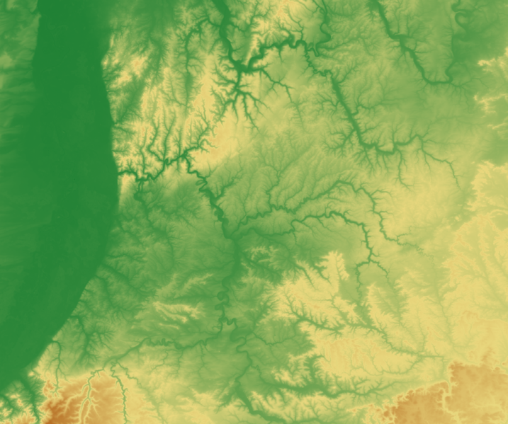
| current | 13:03, 6 January 2007 | | 2,000 × 1,672 (2.05 MB) | commons>MCMC | {{Information| |Description = *{{de|Reliefarte des nördlichen Baden-Württemberg (nördlich von Stuttgart)– '''Arbeitsversion passed zu Image:Eisenbahnstrecken noerdliches Baden-Wuerttemberg.svg'''. Erzeugt mit GMT. Datengrundlage: SRTM-Daten *{{en |
File usage
There are no pages that use this file.