File:Titnore Lane - geograph.org.uk - 1333857.jpg
Jump to navigation
Jump to search
No higher resolution available.
Titnore_Lane_-_geograph.org.uk_-_1333857.jpg (640 × 480 pixels, file size: 73 KB, MIME type: image/jpeg)
Summary
| Description |
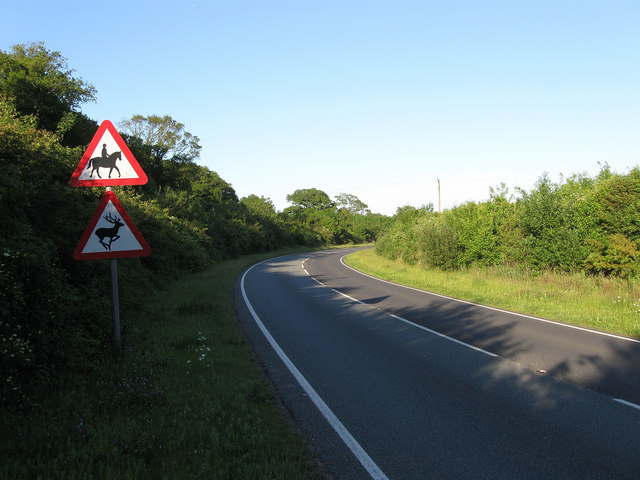
English: Titnore Lane Marked on some maps as the A2700 but this information has been covered over on all the road signs in the vicinity. Titnore Lane begins at Goring Crossways and headed north to a junction with the A27 Arundel Road beyond the bushes on the curve. When the A27 was widened and a new junction with the A280 built in the early 1990s Titnore Lane was extended westwards to meet the roundabout on the southern side of the A280. The road is a notorious ratrun for those wishing to get in and out of the suburbs of western Worthing. |
| Date | |
| Source | From geograph.org.uk |
| Author | Simon Carey |
| Attribution (required by the license) | Simon Carey / Titnore Lane / |
| Camera location | | View this and other nearby images on: OpenStreetMap |
|---|
_heading:90.00&language=en)
| Object location | | View this and other nearby images on: OpenStreetMap |
|---|
_heading:90.00&language=en)
Licensing

|
This image was taken from the Geograph project collection. See this photograph's page on the Geograph website for the photographer's contact details. The copyright on this image is owned by Simon Carey and is licensed for reuse under the Creative Commons Attribution-ShareAlike 2.0 license.
|
This file is licensed under the Creative Commons Attribution-Share Alike 2.0 Generic license.
Attribution: Simon Carey
- You are free:
- to share – to copy, distribute and transmit the work
- to remix – to adapt the work
- Under the following conditions:
- attribution – You must give appropriate credit, provide a link to the license, and indicate if changes were made. You may do so in any reasonable manner, but not in any way that suggests the licensor endorses you or your use.
- share alike – If you remix, transform, or build upon the material, you must distribute your contributions under the same or compatible license as the original.
File history
Click on a date/time to view the file as it appeared at that time.
| Date/Time | Thumbnail | Dimensions | User | Comment | |
|---|---|---|---|---|---|
| current | 02:40, 28 February 2011 | | 640 × 480 (73 KB) | commons>GeographBot | == {{int:filedesc}} == {{Information |description={{en|1=Titnore Lane Marked on some maps as the A2700 but this information has been covered over on all the road signs in the vicinity. Titnore Lane begins at Goring Crossways and headed north to a junction |
File usage
There are no pages that use this file.