File:The Fortified City of Oran on the Barbary Coast.png
Jump to navigation
Jump to search
Size of this preview: 658 × 599 pixels. Other resolutions: 263 × 240 pixels | 527 × 480 pixels | 843 × 768 pixels | 1,124 × 1,024 pixels.
Original file (1,124 × 1,024 pixels, file size: 2.29 MB, MIME type: image/png)
Summary
| Description |
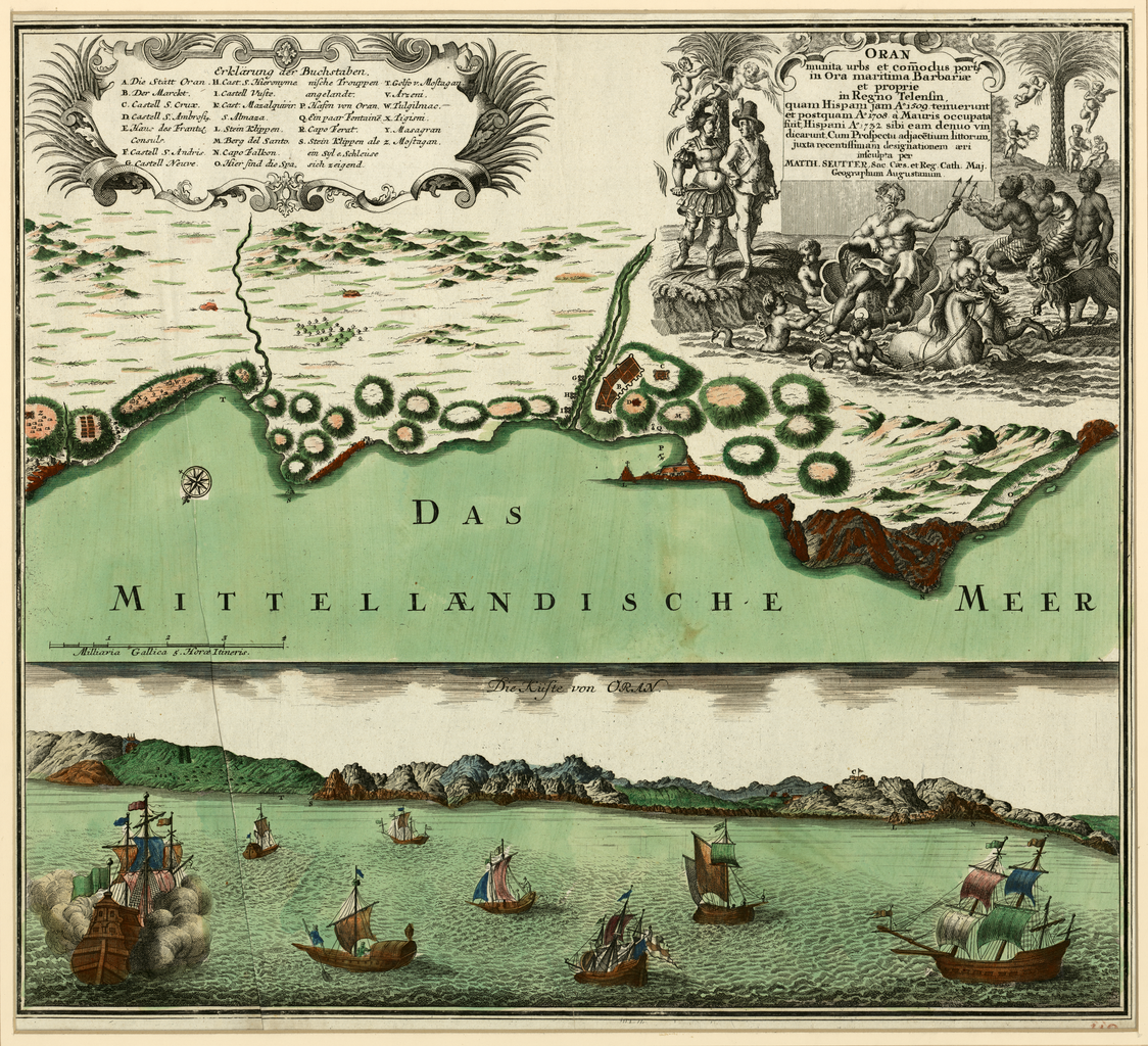
English: A two-part map showing the port of Oran, Algeria in the 18th century, by German map publisher Matthäus Seutter. |
| Date | |
| Source | Qatar National Library via the World Digital Library (https://www.wdl.org/en/item/17571/) |
| Author | Matthaeus Seutter |
Licensing
This work is in the public domain in the United States because it was published (or registered with the U.S. Copyright Office) before January 1, 1929.
Public domain works must be out of copyright in both the United States and in the source country of the work in order to be hosted on the Commons. If the work is not a U.S. work, the file must have an additional copyright tag indicating the copyright status in the source country.
Note: This tag should not be used for sound recordings. |
File history
Click on a date/time to view the file as it appeared at that time.
| Date/Time | Thumbnail | Dimensions | User | Comment | |
|---|---|---|---|---|---|
| current | 21:46, 6 May 2017 | | 1,124 × 1,024 (2.29 MB) | commons>Peripatesy | User created page with UploadWizard |
File usage
There are no pages that use this file.