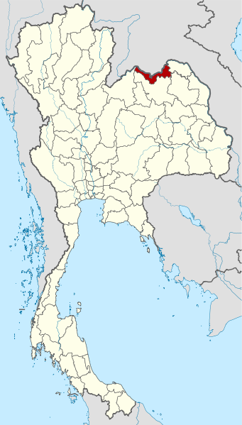
File:Thailand Nong Khai locator map.svg
Jump to navigation
Jump to search

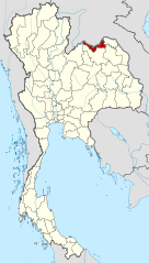
Size of this PNG preview of this SVG file: 341 × 599 pixels. Other resolutions: 136 × 240 pixels | 273 × 480 pixels | 437 × 768 pixels | 582 × 1,024 pixels | 1,165 × 2,048 pixels | 1,052 × 1,849 pixels.
Original file (SVG file, nominally 1,052 × 1,849 pixels, file size: 1.84 MB)
File history
Click on a date/time to view the file as it appeared at that time.
| Date/Time | Thumbnail | Dimensions | User | Comment | |
|---|---|---|---|---|---|
| current | 10:51, 22 March 2011 | | 1,052 × 1,849 (1.84 MB) | commons>Ahoerstemeier | Updated version after Bueng Kan province was split off |
File usage
There are no pages that use this file.