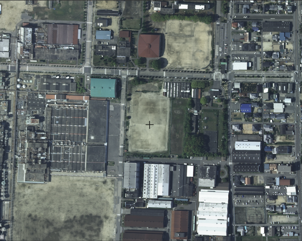
File:Teijin Matsuyamakita Ground.png
Jump to navigation
Jump to search
Size of this preview: 749 × 599 pixels. Other resolutions: 300 × 240 pixels | 600 × 480 pixels | 960 × 768 pixels | 1,191 × 953 pixels.
Original file (1,191 × 953 pixels, file size: 1.91 MB, MIME type: image/png)
File history
Click on a date/time to view the file as it appeared at that time.
| Date/Time | Thumbnail | Dimensions | User | Comment | |
|---|---|---|---|---|---|
| current | 08:08, 28 January 2022 | | 1,191 × 953 (1.91 MB) | commons>Yota00 | Uploaded a work by 国土地理院 from https://maps.gsi.go.jp/#18/33.834825/132.706105/&base=ort&ls=ort%7Cort_1928%7Cort_riku10%7Cgazo1%7Cgazo2%7Cort_USA10%7Cnendophoto2007%7Cnendophoto2008%7Cnendophoto2009%7Cnendophoto2010%7Cnendophoto2011%7Cnendophoto2012%7Cnendophoto2014&blend=00000&disp=1111111111111&vs=c1j0h0k0l0u0t0z0r0s0m0f1 with UploadWizard |
File usage
There are no pages that use this file.