File:Tanzania Morogoro location map2.svg
Jump to navigation
Jump to search

Size of this PNG preview of this SVG file: 135 × 120 pixels. Other resolutions: 270 × 240 pixels | 540 × 480 pixels | 864 × 768 pixels | 1,152 × 1,024 pixels | 2,304 × 2,048 pixels.
Original file (SVG file, nominally 135 × 120 pixels, file size: 1.46 MB)
File history
Click on a date/time to view the file as it appeared at that time.
| Date/Time | Thumbnail | Dimensions | User | Comment | |
|---|---|---|---|---|---|
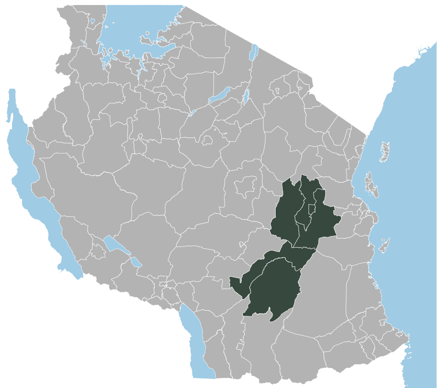
| current | 20:14, 24 July 2011 | | 135 × 120 (1.46 MB) | commons>ZH2010 | =={{int:filedesc}}== {{Information |Description= {{sw|Ramani ya Mkoa wa Morogoro, Jamhuri ya Muungano wa Tanzania.}} |Source={{own}} |Date=2011-07-24 |Author=ZH |Permission= |other_versions= }} == {{int:license} |
File usage
There are no pages that use this file.