File:Tancitaro en Michoacan.svg
Jump to navigation
Jump to search

Size of this PNG preview of this SVG file: 671 × 600 pixels. Other resolutions: 269 × 240 pixels | 537 × 480 pixels | 859 × 768 pixels | 1,146 × 1,024 pixels | 2,291 × 2,048 pixels | 1,188 × 1,062 pixels.
Original file (SVG file, nominally 1,188 × 1,062 pixels, file size: 492 KB)
File history
Click on a date/time to view the file as it appeared at that time.
| Date/Time | Thumbnail | Dimensions | User | Comment | |
|---|---|---|---|---|---|
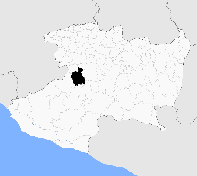
| current | 05:30, 27 December 2009 | | 1,188 × 1,062 (492 KB) | commons>Battroid | {{Information |Description= Mapa del municipio de Tancítaro en el estado mexicano de Michoacán. |Source={{own}} {{Inkscape}} |Date=2009-12-26 |Author=Battroid |Permission={{PD-self}} |other_versions= }} Category:Maps of Michoacan |
File usage
There are no pages that use this file.