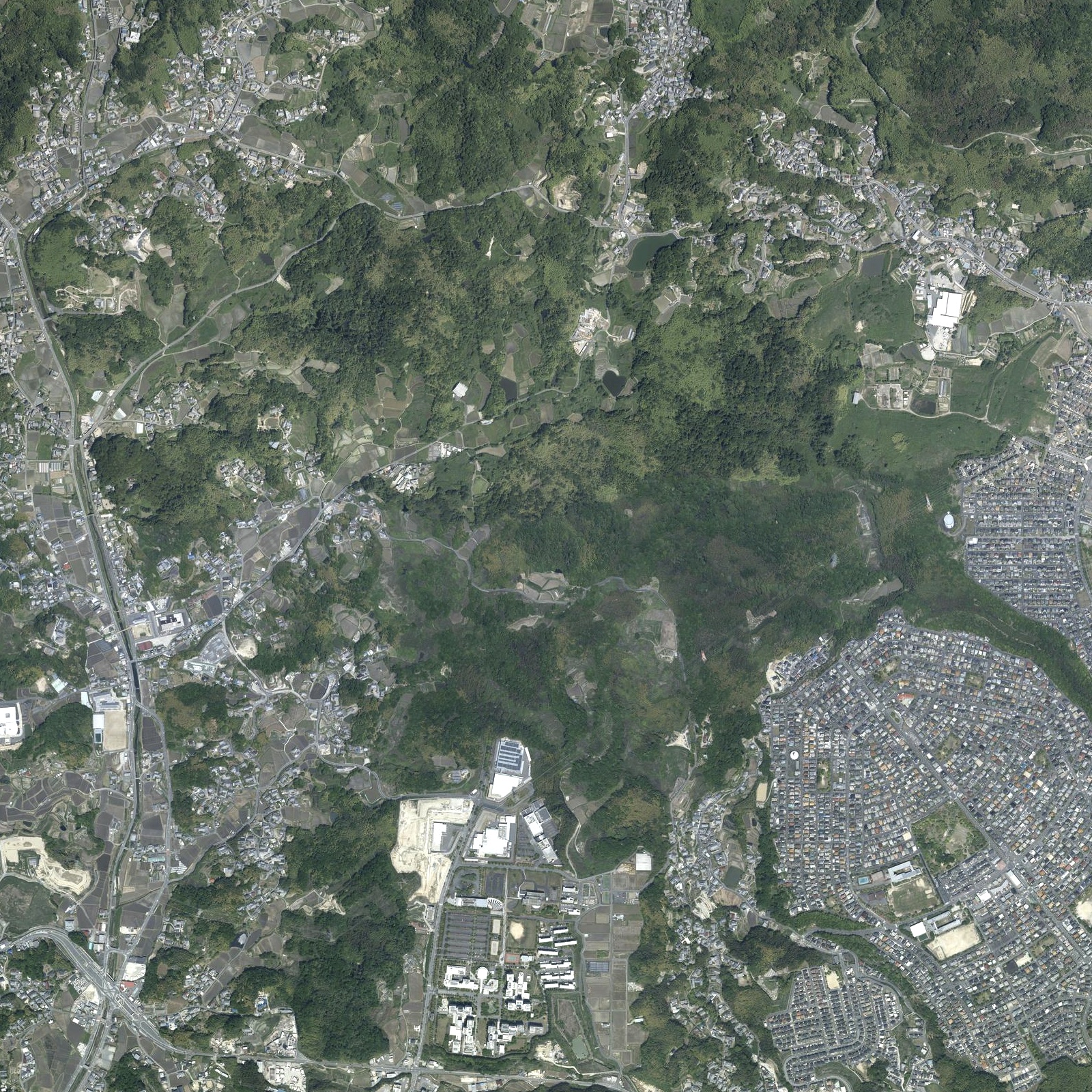
File:Takayama District aerial photo 2021.jpg
Jump to navigation
Jump to search
Size of this preview: 600 × 600 pixels. Other resolutions: 240 × 240 pixels | 480 × 480 pixels | 768 × 768 pixels | 1,024 × 1,024 pixels | 1,600 × 1,600 pixels.
Original file (1,600 × 1,600 pixels, file size: 1.44 MB, MIME type: image/jpeg)
File history
Click on a date/time to view the file as it appeared at that time.
| Date/Time | Thumbnail | Dimensions | User | Comment | |
|---|---|---|---|---|---|
| current | 00:28, 3 May 2022 | | 1,600 × 1,600 (1.44 MB) | commons>Narenko | Uploaded a work by 国土交通省 国土地理院 from 地理院地図 https://maps.gsi.go.jp/ with UploadWizard |
File usage
There are no pages that use this file.