File:Tajikistan relief map.svg
Jump to navigation
Jump to search

Size of this PNG preview of this SVG file: 791 × 600 pixels. Other resolutions: 317 × 240 pixels | 633 × 480 pixels | 1,013 × 768 pixels | 1,280 × 970 pixels | 2,560 × 1,941 pixels | 1,191 × 903 pixels.
Original file (SVG file, nominally 1,191 × 903 pixels, file size: 5.56 MB)
Summary
| Description |
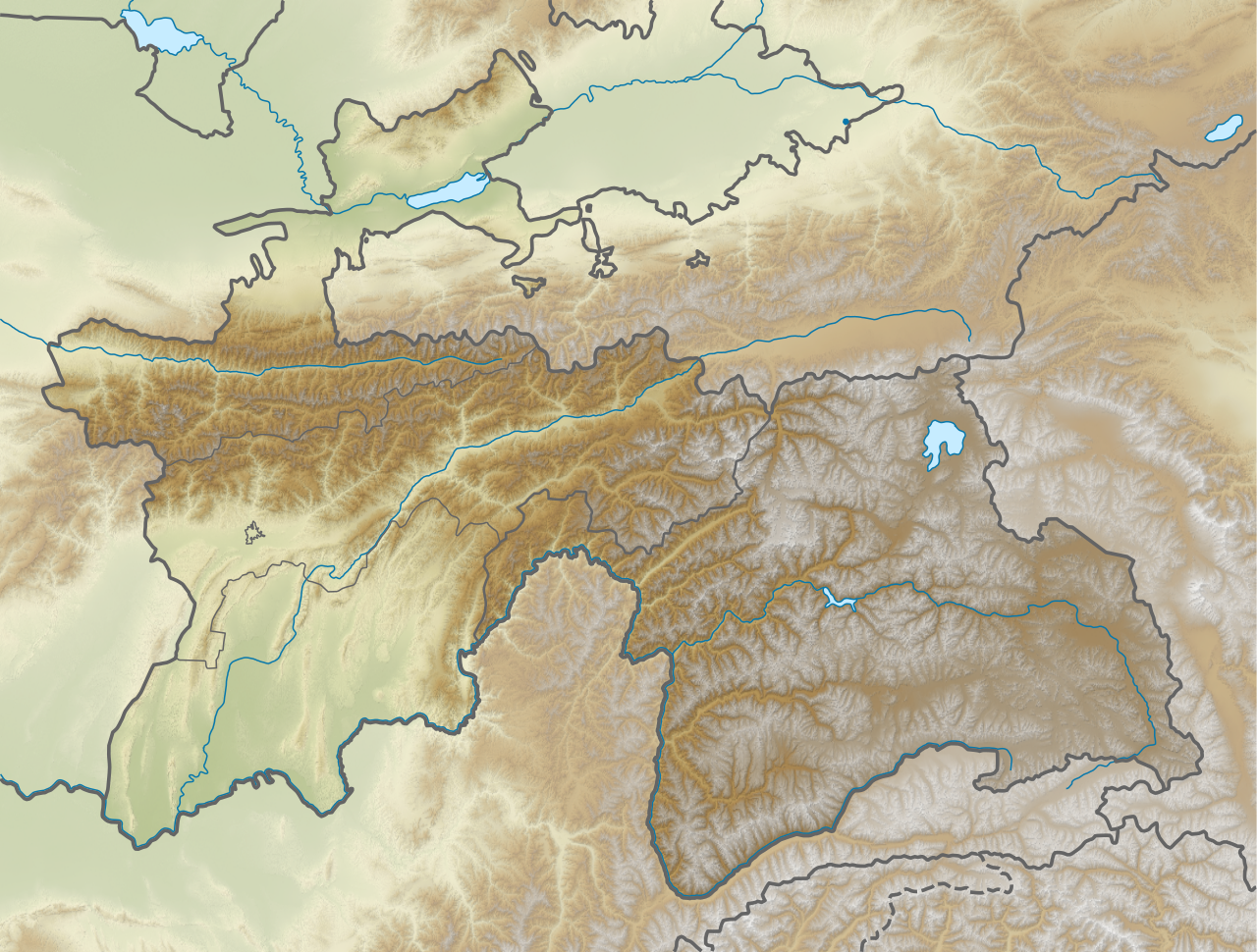
English: Relief map of Tajikistan. Elevation from STRM30. |
| Date | |
| Source | Derivative of File:Tajikistan adm location map.svg |
| Author | Own work based on User:NordNordWest |
Licensing
This file is licensed under the Creative Commons Attribution-Share Alike 3.0 Unported license.
- You are free:
- to share – to copy, distribute and transmit the work
- to remix – to adapt the work
- Under the following conditions:
- attribution – You must give appropriate credit, provide a link to the license, and indicate if changes were made. You may do so in any reasonable manner, but not in any way that suggests the licensor endorses you or your use.
- share alike – If you remix, transform, or build upon the material, you must distribute your contributions under the same or compatible license as the original.
File history
Click on a date/time to view the file as it appeared at that time.
| Date/Time | Thumbnail | Dimensions | User | Comment | |
|---|---|---|---|---|---|
| current | 05:32, 22 November 2020 | | 1,191 × 903 (5.56 MB) | commons>C1MM | Increased boundary width of GB autonomous region, separate status from other administrative divisions |
File usage
There are no pages that use this file.