File:Tabubil-world wind.png
Jump to navigation
Jump to search
Size of this preview: 719 × 600 pixels. Other resolutions: 288 × 240 pixels | 576 × 480 pixels | 795 × 663 pixels.
Original file (795 × 663 pixels, file size: 1.13 MB, MIME type: image/png)
Summary
| Description | |
| Date | 20 May 2007 (original upload date) |
| Source | NASA World Wind |
| Author | NASA |
| Permission (Reusing this file) |
Public Domain |
| This image is in the public domain because it is a screenshot from NASA’s globe software World Wind using a public domain layer, such as Blue Marble, MODIS, Landsat, SRTM, USGS or GLOBE.
|
 |
Original upload log
Transferred from en.wikipedia to Commons using For the Common Good.
The original description page was here. All following user names refer to en.wikipedia.
| Date/Time | Dimensions | User | Comment |
|---|---|---|---|
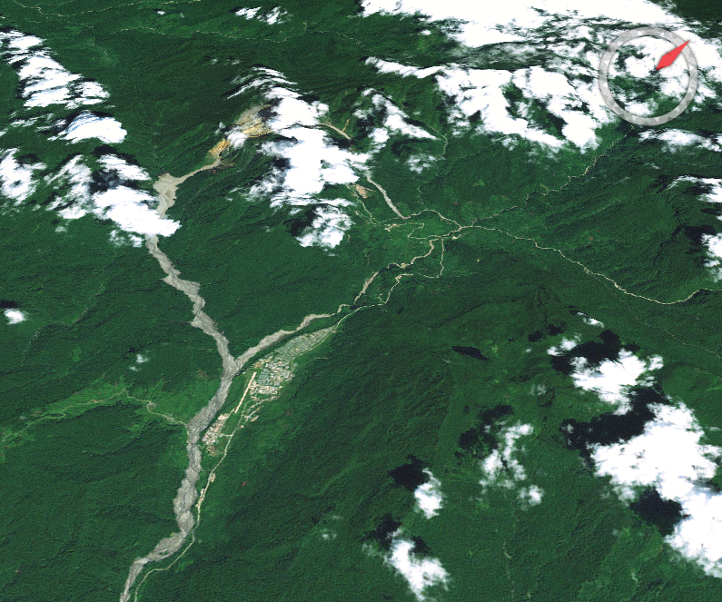
| 01:27, 20 May 2007 | 795 × 663 (1,184,338 bytes) | w:en:Aliasd (talk | contribs) | ([[NASA]] [[NASA World Wind|World Wind]] image of [[Tabubil, Papua New Guinea|Tabubil]], looking NW towards [[Ok Tedi Mine]] {{PD-NASA}} ) |
File history
Click on a date/time to view the file as it appeared at that time.
| Date/Time | Thumbnail | Dimensions | User | Comment | |
|---|---|---|---|---|---|
| current | 18:05, 13 February 2013 | | 795 × 663 (1.13 MB) | commons>Storkk | Transferred from en.wikipedia: see original upload log above |
File usage
There are no pages that use this file.