File:Sydney skyline from the north aerial 2010.jpg
Jump to navigation
Jump to search

Size of this preview: 800 × 533 pixels. Other resolutions: 320 × 213 pixels | 640 × 427 pixels | 1,024 × 683 pixels | 1,280 × 853 pixels | 2,560 × 1,706 pixels | 3,344 × 2,229 pixels.
Original file (3,344 × 2,229 pixels, file size: 6.75 MB, MIME type: image/jpeg)
Summary
| Camera location | | View this and other nearby images on: OpenStreetMap |
|---|
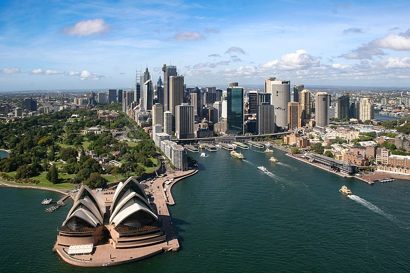
| Description |
English: Aerial view of the Sydney skyline from the north. |
| Date | |
| Source | https://www.flickr.com/photos/beaugiles/5245075698 |
| Author | Beau Giles |
| Other versions |
.jpg)
Licensing
| This image was originally posted to Flickr by BeauGiles at https://www.flickr.com/photos/8329215@N04/5245075698. It was reviewed on 18 January 2012 by FlickreviewR and was confirmed to be licensed under the terms of the cc-by-2.0. |
This file is licensed under the Creative Commons Attribution 2.0 Generic license.
- You are free:
- to share – to copy, distribute and transmit the work
- to remix – to adapt the work
- Under the following conditions:
- attribution – You must give appropriate credit, provide a link to the license, and indicate if changes were made. You may do so in any reasonable manner, but not in any way that suggests the licensor endorses you or your use.
File history
Click on a date/time to view the file as it appeared at that time.
| Date/Time | Thumbnail | Dimensions | User | Comment | |
|---|---|---|---|---|---|
| current | 18:32, 7 February 2016 | | 3,344 × 2,229 (6.75 MB) | commons>ThisIsForEveryone | straightened, cropped (LrMediaWiki 0.4.1) |
File usage
There are no pages that use this file.