File:Sweden Gävleborg location map.svg
Jump to navigation
Jump to search

Size of this PNG preview of this SVG file: 426 × 600 pixels. Other resolutions: 170 × 240 pixels | 341 × 480 pixels | 545 × 768 pixels | 727 × 1,024 pixels | 1,455 × 2,048 pixels | 807 × 1,136 pixels.
Original file (SVG file, nominally 807 × 1,136 pixels, file size: 207 KB)
File history
Click on a date/time to view the file as it appeared at that time.
| Date/Time | Thumbnail | Dimensions | User | Comment | |
|---|---|---|---|---|---|
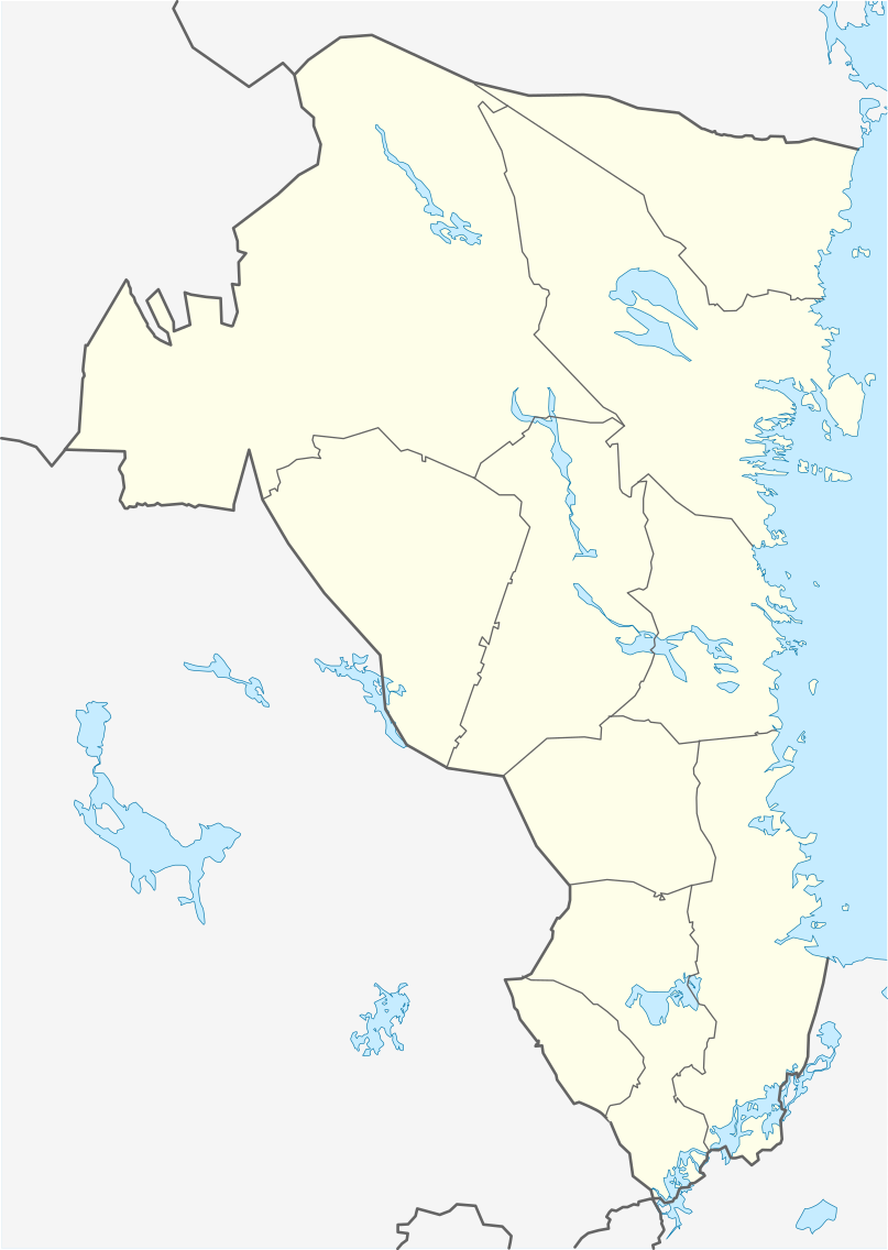
| current | 22:42, 10 February 2009 | | 807 × 1,136 (207 KB) | commons>Erik Frohne | {{Information |Description={{en|1=Location map of Gävleborg county in Sweden Equirectangular projection, N/S stretching 208 %. Geographic limits of the map: * N: 62.40° N * S: 60.10° N * W: 14.20° E * E: 17.60° E}} {{de|1=Positionskarte von Gävleb |
File usage
There are no pages that use this file.