File:Surallah South Cotabato 1.jpg
Jump to navigation
Jump to search

Size of this preview: 800 × 490 pixels. Other resolutions: 320 × 196 pixels | 640 × 392 pixels | 1,024 × 628 pixels | 1,550 × 950 pixels.
Original file (1,550 × 950 pixels, file size: 434 KB, MIME type: image/jpeg)
Summary
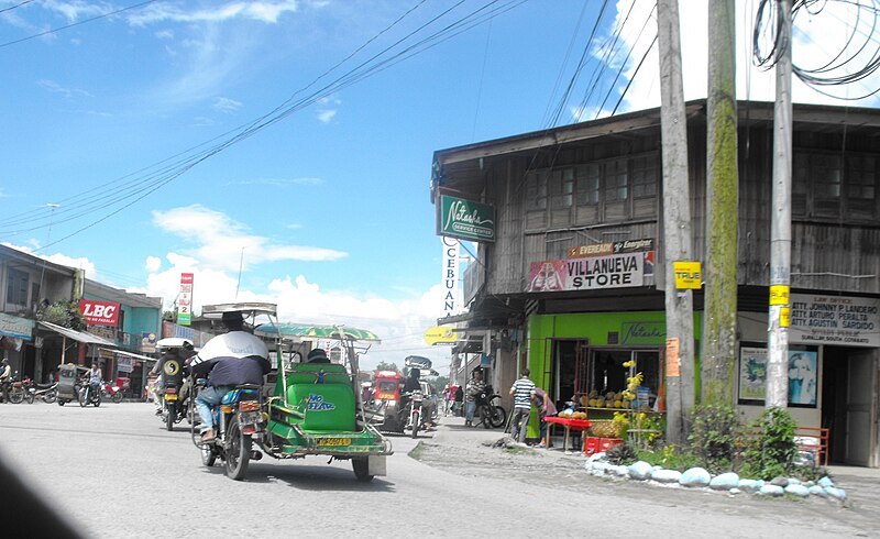
| Description | Public Market Direction, Surallah, South Cotabato |
| Date | |
| Source | Public Market Direction |
| Author | Rod Gasmin |
| Camera location | | View this and other nearby images on: OpenStreetMap |
|---|
Licensing
This file is licensed under the Creative Commons Attribution-Share Alike 3.0 Unported license.
- You are free:
- to share – to copy, distribute and transmit the work
- to remix – to adapt the work
- Under the following conditions:
- attribution – You must give appropriate credit, provide a link to the license, and indicate if changes were made. You may do so in any reasonable manner, but not in any way that suggests the licensor endorses you or your use.
- share alike – If you remix, transform, or build upon the material, you must distribute your contributions under the same or compatible license as the original.
| This image was originally posted to Panoramio by Rod Gasmin at https://www.panoramio.com/photo/34901198. It was reviewed on 24 May 2014 by the Panoramio Review Bot robot and was confirmed to be licensed under the terms of the cc-by-sa-3.0. |
File history
Click on a date/time to view the file as it appeared at that time.
| Date/Time | Thumbnail | Dimensions | User | Comment | |
|---|---|---|---|---|---|
| current | 14:35, 26 May 2014 | | 1,550 × 950 (434 KB) | commons>P199 | cropped, retouched |
File usage
There are no pages that use this file.