File:Sumatra Locator Topography.png
Jump to navigation
Jump to search
Size of this preview: 559 × 600 pixels. Other resolutions: 224 × 240 pixels | 447 × 480 pixels | 716 × 768 pixels | 954 × 1,024 pixels | 1,866 × 2,002 pixels.
Original file (1,866 × 2,002 pixels, file size: 2.26 MB, MIME type: image/png)
File history
Click on a date/time to view the file as it appeared at that time.
| Date/Time | Thumbnail | Dimensions | User | Comment | |
|---|---|---|---|---|---|
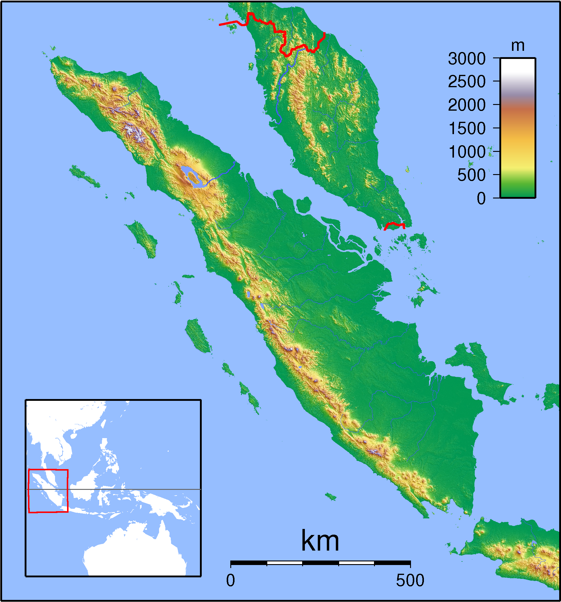
| current | 18:56, 1 September 2007 | | 1,866 × 2,002 (2.26 MB) | commons>Sadalmelik | {{Information |Description=Topographic locator map of Sumatra. Created with GMT from SRTM data. For non-locator version, see Image:Sumatra Topography.png. Left:94 Bottom:-8 Rght:108 Top:7 |Source=self-made |Date=Sep 1, 2007 |Author= [[User:Sadalmelik |
File usage
There are no pages that use this file.