File:Streymnes on Faroe map.png
Jump to navigation
Jump to search

Size of this preview: 398 × 599 pixels. Other resolutions: 159 × 240 pixels | 319 × 480 pixels | 688 × 1,035 pixels.
Original file (688 × 1,035 pixels, file size: 24 KB, MIME type: image/png)
Summary
| Description |
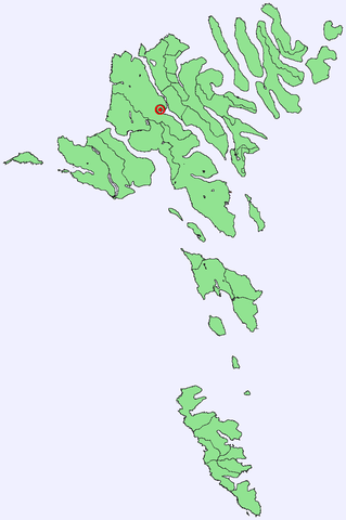
Position of Streymnes in the Faroe Islands
|
| Date | 30 September 2005 (original upload date) |
| Source | No machine-readable source provided. Own work assumed (based on copyright claims). |
| Author | No machine-readable author provided. Arne List assumed (based on copyright claims). |
Licensing
| I, the copyright holder of this work, release this work into the public domain. This applies worldwide. In some countries this may not be legally possible; if so: I grant anyone the right to use this work for any purpose, without any conditions, unless such conditions are required by law. |
File history
Click on a date/time to view the file as it appeared at that time.
| Date/Time | Thumbnail | Dimensions | User | Comment | |
|---|---|---|---|---|---|
| current | 12:29, 30 September 2005 | | 688 × 1,035 (24 KB) | commons>Arne List | *Position of Árnafjørður in the Faroe Islands *Graphics: Arne List |
File usage
There are no pages that use this file.