File:Strelasundincyan.png
Jump to navigation
Jump to search
Size of this preview: 534 × 600 pixels. Other resolutions: 214 × 240 pixels | 538 × 604 pixels.
Original file (538 × 604 pixels, file size: 15 KB, MIME type: image/png)
File history
Click on a date/time to view the file as it appeared at that time.
| Date/Time | Thumbnail | Dimensions | User | Comment | |
|---|---|---|---|---|---|
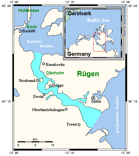
| current | 12:32, 30 April 2009 | | 538 × 604 (15 KB) | commons>Urdangaray | {{Information |Description={{en|A map showing the Strelasund between the German mainland and Rügen on the Baltic coast. This map's source is [http://www.aquarius.geomar.de/omc/make_map.html here], with the uploader's modifications, and the [http://gmt.so |
File usage
There are no pages that use this file.