File:Stratford station (7028902411).jpg
Original file (3,675 × 2,204 pixels, file size: 3.33 MB, MIME type: image/jpeg)
.jpg)
Summary
| Description |
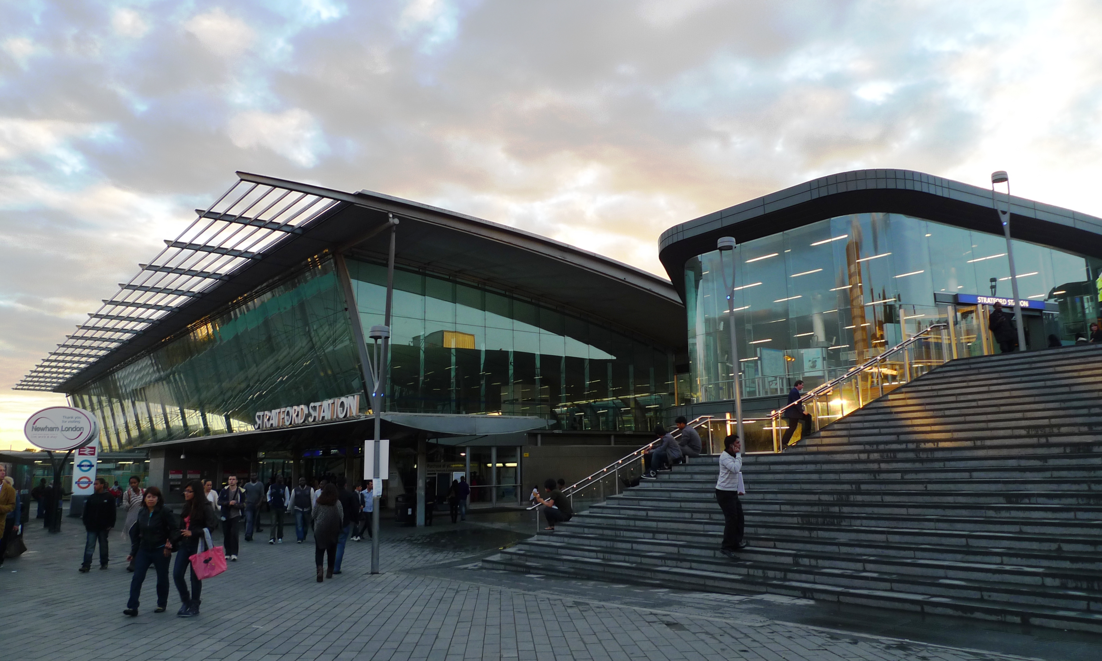
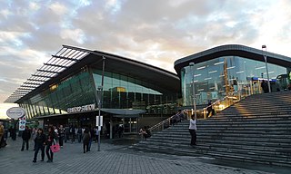
One of the great buildings in this rebuilt area, now with steps leading up to the Westfield shopping centre site. (View of tube station entrance in Westfield.) Station Code: SRA. Line(s) and Previous/Next Stations: Mile End < CENTRAL LINE > Leyton Liverpool Street < C2C > Barking Pudding Mill Lane < DOCKLANDS LIGHT RAILWAY > [Terminus] Stratford International < DOCKLANDS LIGHT RAILWAY > Stratford High Street Liverpool Street < DUTCHFLYER > Shenfield Liverpool Street < GREATER ANGLIA > Maryland [Terminus] < GREATER ANGLIA > Tottenham Hale West Ham < JUBILEE LINE > [Terminus] Hackney Wick < LONDON OVERGROUND [North London Line] > [Terminus] Links: Randomness Guide to London Wikipedia |
| Date | |
| Source | Stratford station |
| Author | Ewan Munro from London, UK |
| Camera location | | View this and other nearby images on: OpenStreetMap |
|---|
.jpg¶ms=051.541394_N_-000.002601_E_globe:Earth_type:camera_source:Flickr_&language=en)
Licensing
- You are free:
- to share – to copy, distribute and transmit the work
- to remix – to adapt the work
- Under the following conditions:
- attribution – You must give appropriate credit, provide a link to the license, and indicate if changes were made. You may do so in any reasonable manner, but not in any way that suggests the licensor endorses you or your use.
- share alike – If you remix, transform, or build upon the material, you must distribute your contributions under the same or compatible license as the original.
| This image was originally posted to Flickr by Ewan-M at https://www.flickr.com/photos/55935853@N00/7028902411. It was reviewed on 15 March 2015 by FlickreviewR and was confirmed to be licensed under the terms of the cc-by-sa-2.0. |
File history
Click on a date/time to view the file as it appeared at that time.
| Date/Time | Thumbnail | Dimensions | User | Comment | |
|---|---|---|---|---|---|
| current | 14:50, 15 March 2015 | | 3,675 × 2,204 (3.33 MB) | commons>The wub | Transferred from Flickr via Flickr2Commons |
File usage
There are no pages that use this file.
.jpg)