File:StonyPlain electoral district 2010.jpg
Jump to navigation
Jump to search

Size of this preview: 800 × 337 pixels. Other resolutions: 320 × 135 pixels | 640 × 270 pixels | 1,024 × 431 pixels | 1,280 × 539 pixels | 2,560 × 1,078 pixels | 10,805 × 4,550 pixels.
Original file (10,805 × 4,550 pixels, file size: 1.11 MB, MIME type: image/jpeg)
File history
Click on a date/time to view the file as it appeared at that time.
| Date/Time | Thumbnail | Dimensions | User | Comment | |
|---|---|---|---|---|---|
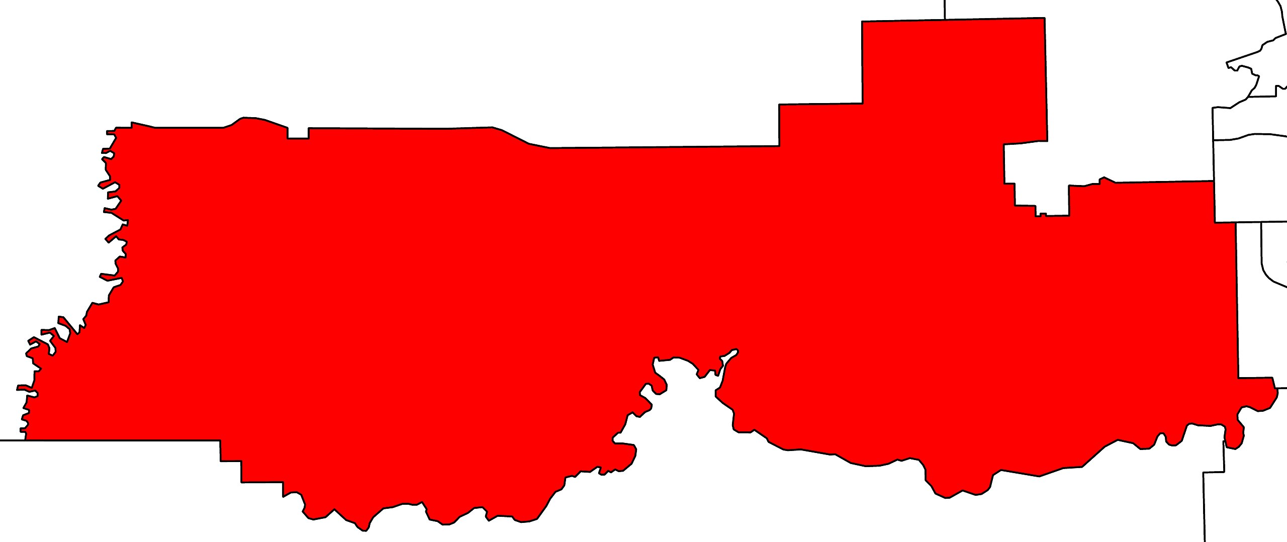
| current | 03:20, 21 March 2012 | | 10,805 × 4,550 (1.11 MB) | commons>117Avenue | {{Information |Description ={{en|1=A map of the Alberta provincial electoral districts, effective 2010. Stony Plain is highlighted in red.}} |Source ... |
File usage
There are no pages that use this file.