File:Stockport Transport Interchange (geograph 7738373).jpg
Jump to navigation
Jump to search

Size of this preview: 800 × 567 pixels. Other resolutions: 320 × 227 pixels | 640 × 453 pixels | 1,024 × 725 pixels | 1,280 × 907 pixels | 1,920 × 1,360 pixels.
Original file (1,920 × 1,360 pixels, file size: 1.49 MB, MIME type: image/jpeg)
.jpg)
File history
Click on a date/time to view the file as it appeared at that time.
| Date/Time | Thumbnail | Dimensions | User | Comment | |
|---|---|---|---|---|---|
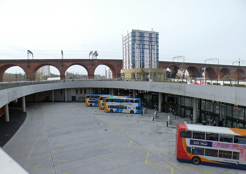
| current | 07:02, 1 April 2024 | | 1,920 × 1,360 (1.49 MB) | commons>Hullian111-Flickr2Commons | == {{int:filedesc}} == {{Information |Description={{en|1=Looking down from Viaduct Park at the bus stands underneath. There would be a splendid view of a long length of the railway viaduct were it not for the Weir Mill development, a high rise apartment block being built on Astley Street.}} |Source=From [https://www.geograph.org.uk/photo/7738373 geograph.org.uk] |Date=2024-03-26 |Author=[https://www.geograph.org.uk/profile/22742 Gerald England] |Permission=Creative Commons Attribution Share-a... |
File usage
There are no pages that use this file.
.jpg)