File:Stanley Park - Vancouver - OpenStreetMaps.png
Jump to navigation
Jump to search
Size of this preview: 716 × 600 pixels. Other resolutions: 287 × 240 pixels | 573 × 480 pixels | 1,008 × 844 pixels.
Original file (1,008 × 844 pixels, file size: 484 KB, MIME type: image/png)
File history
Click on a date/time to view the file as it appeared at that time.
| Date/Time | Thumbnail | Dimensions | User | Comment | |
|---|---|---|---|---|---|
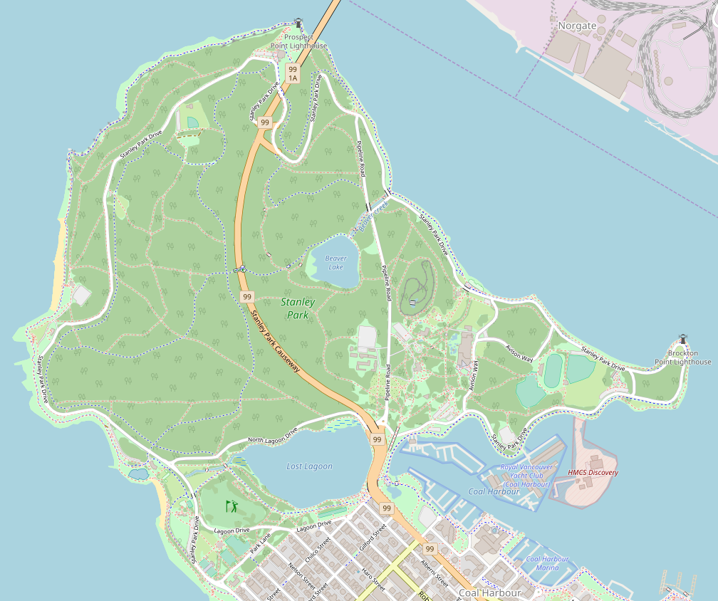
| current | 23:39, 13 June 2018 | | 1,008 × 844 (484 KB) | commons>Tagishsimon | {{OpenStreetMap | name = Stanley_Park_Vancouver | location = Stanley_Park_Vancouver | description = Map of Stanley Park, Vancouver | top = 49.3149 | bottom = 49.2900 | left = -123.1604 | right = -123.1148 | date = 2018-06-14 | authors = OpenStreetMap contributors | other_versions = }} Category:Location maps of Vancouver |
File usage
There are no pages that use this file.