File:Southwest Cornwall UK location map.svg
Jump to navigation
Jump to search

Size of this PNG preview of this SVG file: 800 × 489 pixels. Other resolutions: 320 × 196 pixels | 640 × 391 pixels | 1,024 × 626 pixels | 1,280 × 782 pixels | 2,560 × 1,565 pixels | 1,425 × 871 pixels.
Original file (SVG file, nominally 1,425 × 871 pixels, file size: 662 KB)
File history
Click on a date/time to view the file as it appeared at that time.
| Date/Time | Thumbnail | Dimensions | User | Comment | |
|---|---|---|---|---|---|
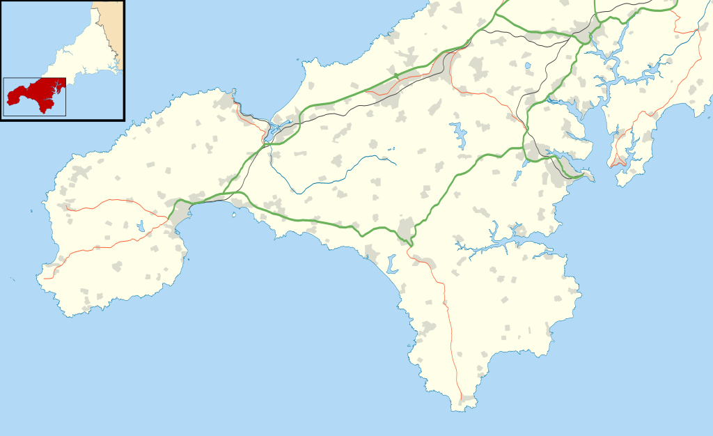
| current | 11:42, 12 October 2011 | | 1,425 × 871 (662 KB) | commons>Nilfanion | {{Information |Description=Map of southwest Cornwall, UK (excluding the Isles of Scilly) with the following information shown: *Administrative borders *Coastline, lakes and rivers *Roads and railways *Urban areas Equirectangular map projec |
File usage
There are no pages that use this file.