File:Southwark London UK blank ward map.svg
Jump to navigation
Jump to search

Size of this PNG preview of this SVG file: 450 × 600 pixels. Other resolutions: 180 × 240 pixels | 360 × 480 pixels | 576 × 768 pixels | 768 × 1,024 pixels | 1,537 × 2,048 pixels | 950 × 1,266 pixels.
Original file (SVG file, nominally 950 × 1,266 pixels, file size: 382 KB)
| Description |
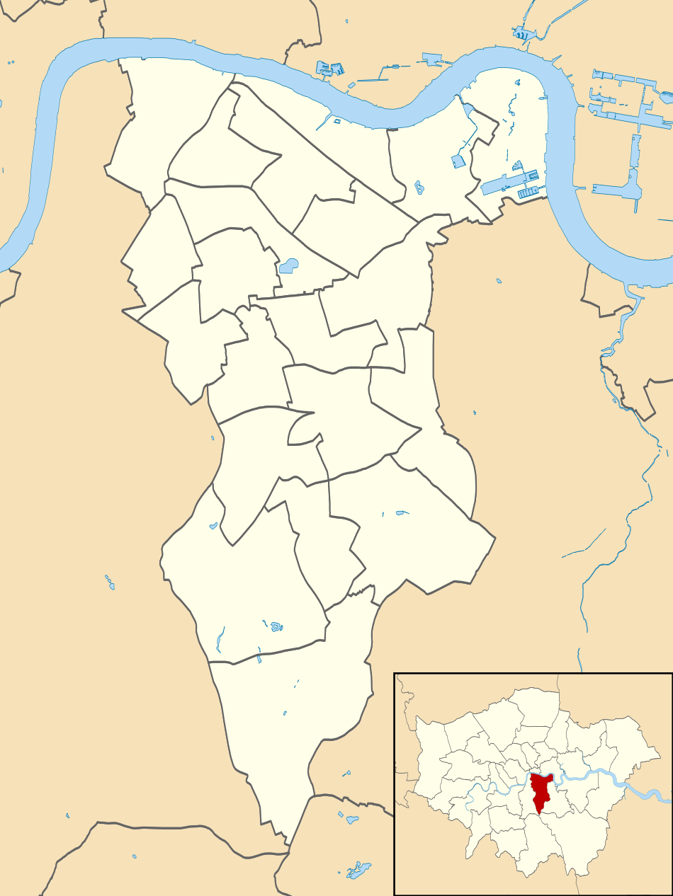
Blank map of the London Borough of Southwark, showing electoral wards. Equirectangular map projection on WGS 84 datum, with N/S stretched 160% Geographic limits:
|
| Date | |
| Source |
|
| Author | Nilfanion |
| Permission (Reusing this file) |
This file is licensed under the Creative Commons Attribution-Share Alike 3.0 Unported license. Attribution: Contains Ordnance Survey data © Crown copyright and database right
|
File history
Click on a date/time to view the file as it appeared at that time.
| Date/Time | Thumbnail | Dimensions | User | Comment | |
|---|---|---|---|---|---|
| current | 22:17, 28 July 2011 | | 950 × 1,266 (382 KB) | commons>Nilfanion | {{Information |Description=Blank map of the London Borough of Southwark, showing electoral wards. Equirectangular map projection on WGS 84 datum, with N/S stretched 160% Geographic limits: *West: 0.13W *East: 0.01W *Nor |
File usage
There are no pages that use this file.