File:South Pacific Mandate map in 1930s.PNG
Jump to navigation
Jump to search

Size of this preview: 800 × 489 pixels. Other resolutions: 320 × 196 pixels | 640 × 391 pixels | 1,024 × 626 pixels | 1,280 × 783 pixels | 1,751 × 1,071 pixels.
Original file (1,751 × 1,071 pixels, file size: 895 KB, MIME type: image/png)
Summary
| Description |
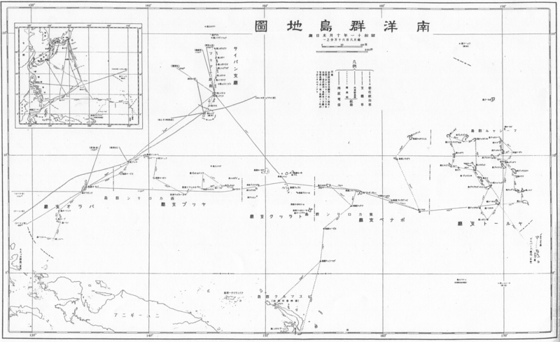
English: South Pacific Mandate map in 1930s 日本語: 1930年代の南洋群島地図 |
| Date | 1930s |
| Source |
English: Japanese book "Photograph collection of exterior territories of Japan" published by Tokai-Tsushinsha. 日本語: 東海通信社「大日本外地写真帖」より。 |
| Author | Unknown author |
Licensing
This photograph is in the public domain in Japan because its copyright has expired according to Article 23 of the 1899 Copyright Act of Japan (English translation) and Article 2 of Supplemental Provisions of Copyright Act of 1970. This is when the photograph meets one of the following conditions:
|
 | |
 |
To uploader: Please provide the source and publication date.
|
File history
Click on a date/time to view the file as it appeared at that time.
| Date/Time | Thumbnail | Dimensions | User | Comment | |
|---|---|---|---|---|---|
| current | 00:28, 23 December 2010 | | 1,751 × 1,071 (895 KB) | commons>あばさー | {{Information |Description={{en|South Pacific Mandate map in 1930s}}{{ja|1930年代の南洋群島地図}} |Source={{en|Japanese book "Photograph collection of exterior territories of Japan" published by Tokai-Tsushinsha.}}{{ja|東海通信社「大日本 |
File usage
There are no pages that use this file.