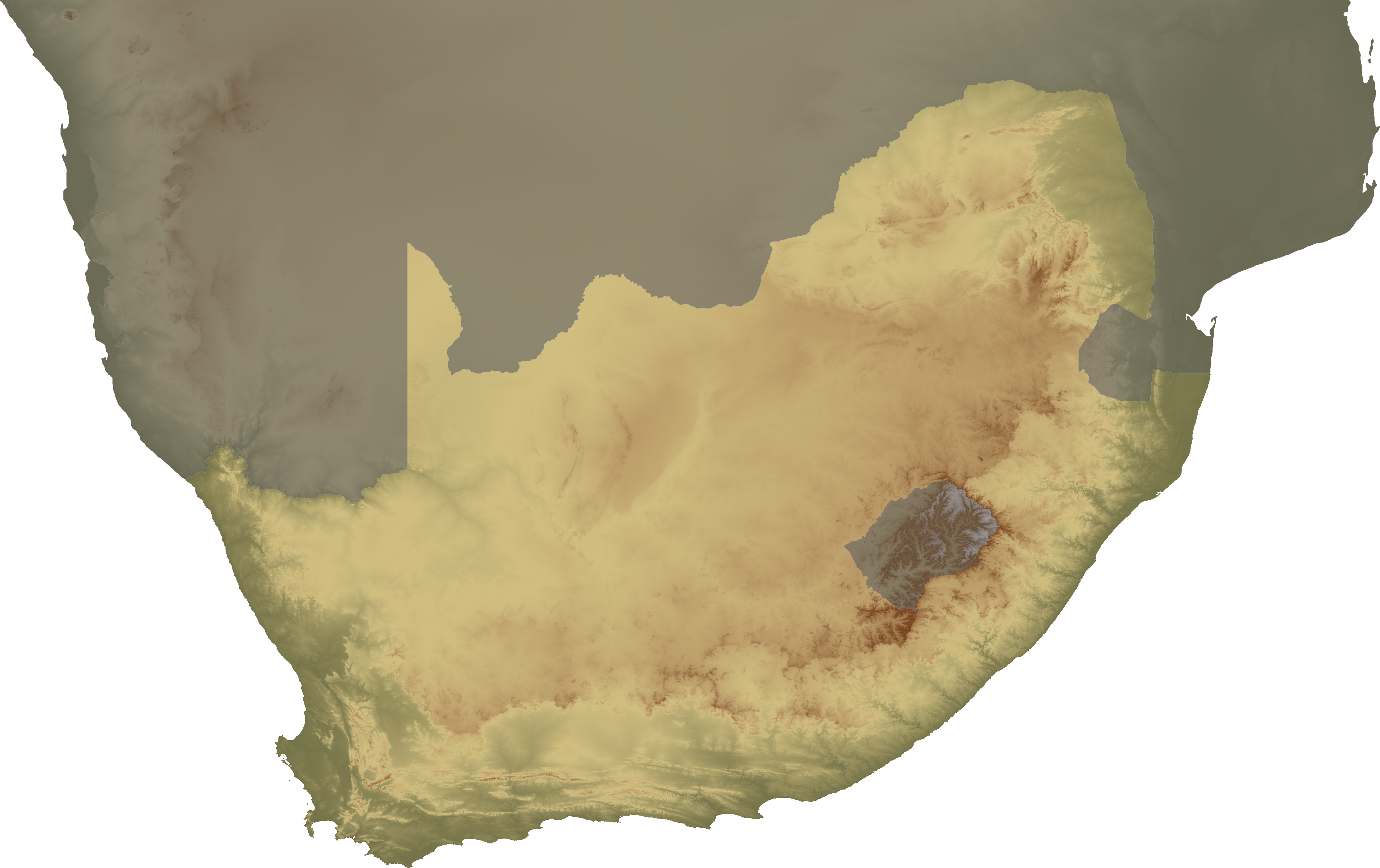
File:South Africa topo continent.png
Jump to navigation
Jump to search
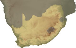
Size of this preview: 800 × 503 pixels. Other resolutions: 320 × 201 pixels | 640 × 403 pixels | 1,024 × 644 pixels | 1,280 × 805 pixels | 2,560 × 1,610 pixels | 3,658 × 2,301 pixels.
Original file (3,658 × 2,301 pixels, file size: 3.84 MB, MIME type: image/png)
| Description | Topographical map of South Africa, continent version |
| Date | |
| Source | Own work |
| Author | SFC9394 |
| Permission (Reusing this file) |
Topo data from SRTM, NASA PD |
| Other versions | Image:South Africa topo island.png |
This file is licensed under the Creative Commons Attribution 2.5 Generic license.
- You are free:
- to share – to copy, distribute and transmit the work
- to remix – to adapt the work
- Under the following conditions:
- attribution – You must give appropriate credit, provide a link to the license, and indicate if changes were made. You may do so in any reasonable manner, but not in any way that suggests the licensor endorses you or your use.
File history
Click on a date/time to view the file as it appeared at that time.
| Date/Time | Thumbnail | Dimensions | User | Comment | |
|---|---|---|---|---|---|
| current | 20:00, 2 February 2008 | | 3,658 × 2,301 (3.84 MB) | commons>SFC9394 | {{Information |Description= Topographical map of South Africa, continent version |Source=self-made |Date=02-02-08 |Author= SFC9394 |Permission=Topo data from SRTM, NASA PD |other_versions=Image:South Africa topo island.png }} {{CC-BY- |
File usage
There are no pages that use this file.