File:South Africa late19thC map.png
Jump to navigation
Jump to search
Size of this preview: 725 × 600 pixels. Other resolutions: 290 × 240 pixels | 581 × 480 pixels | 1,000 × 827 pixels.
Original file (1,000 × 827 pixels, file size: 49 KB, MIME type: image/png)
File history
Click on a date/time to view the file as it appeared at that time.
| Date/Time | Thumbnail | Dimensions | User | Comment | |
|---|---|---|---|---|---|
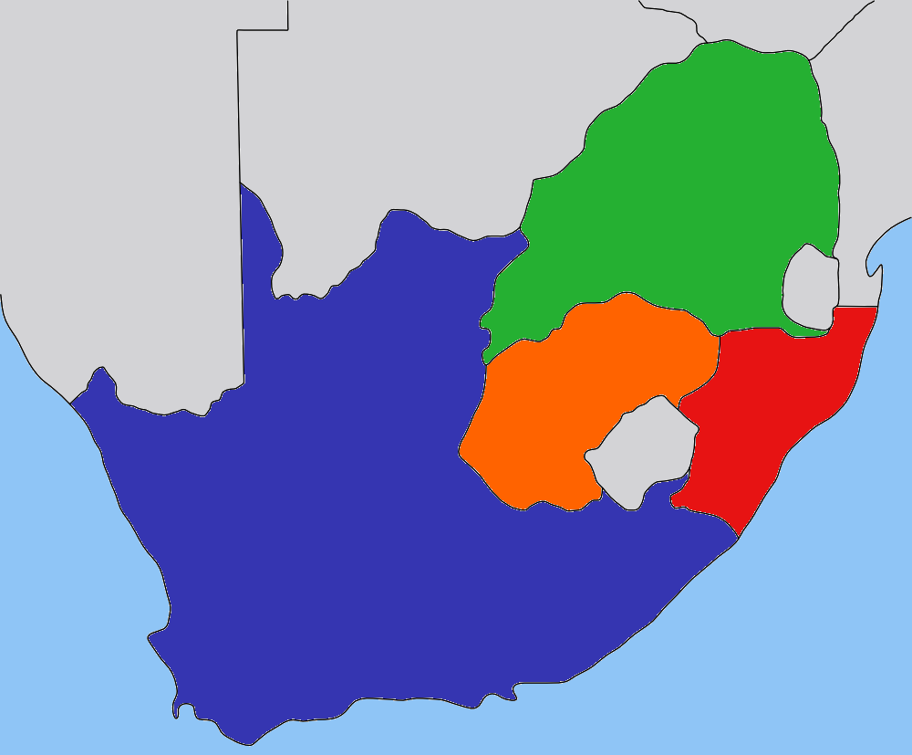
| current | 21:47, 30 August 2008 | | 1,000 × 827 (49 KB) | commons>JasonAQuest | {{ShouldBeSVG|map}} == Summary == {{Information| |Description=Map of the South Africa in the late 1800s, with provinces recoloured in the GIMP. |Source=based on image:Transvaal_map.png by User:Dewet, based on wor |
File usage
There are no pages that use this file.