File:South Africa Districts April 2006.png
Jump to navigation
Jump to search
Size of this preview: 800 × 581 pixels. Other resolutions: 320 × 232 pixels | 640 × 464 pixels | 1,024 × 743 pixels | 1,141 × 828 pixels.
Original file (1,141 × 828 pixels, file size: 38 KB, MIME type: image/png)
File history
Click on a date/time to view the file as it appeared at that time.
| Date/Time | Thumbnail | Dimensions | User | Comment | |
|---|---|---|---|---|---|
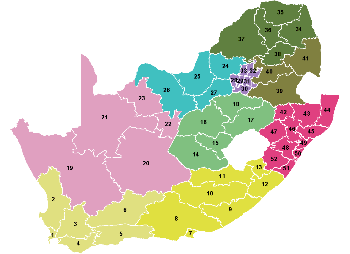
| current | 21:04, 15 April 2006 | | 1,141 × 828 (38 KB) | commons>Waynedam | Map showing the 52 districts of South Africa. Colours indicate the 9 provinces. Created by Wayne Dam using data from the Municipal Demarcation Board after the 12th amendment to the Constitution. |
File usage
There are no pages that use this file.