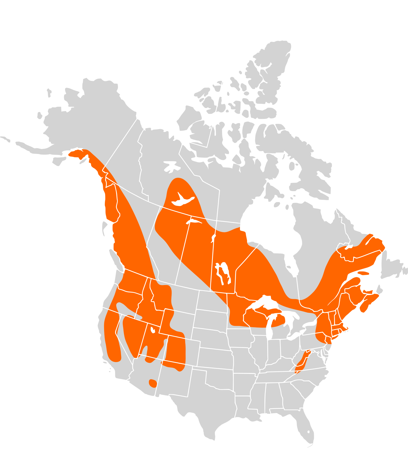
File:Sorex palustris distribution.svg
Jump to navigation
Jump to search

Size of this PNG preview of this SVG file: 515 × 599 pixels. Other resolutions: 206 × 240 pixels | 412 × 480 pixels | 660 × 768 pixels | 880 × 1,024 pixels | 1,760 × 2,048 pixels | 1,712 × 1,992 pixels.
Original file (SVG file, nominally 1,712 × 1,992 pixels, file size: 240 KB)
File history
Click on a date/time to view the file as it appeared at that time.
| Date/Time | Thumbnail | Dimensions | User | Comment | |
|---|---|---|---|---|---|
| current | 17:08, 31 January 2010 | | 1,712 × 1,992 (240 KB) | commons>Totodu74 | {{Information |Description={{en|Map of North America and its second-level political divisions. Canadian provinces, US and Mexican states. Canada, Mexico, United States. Non-contiguous parts of a states/provinces are "grouped" together with the main area |
File usage
There are no pages that use this file.