File:Somerset UK electoral division map (blank).svg
Jump to navigation
Jump to search

Size of this PNG preview of this SVG file: 800 × 506 pixels. Other resolutions: 320 × 202 pixels | 640 × 405 pixels | 1,024 × 647 pixels | 1,280 × 809 pixels | 2,560 × 1,619 pixels | 1,425 × 901 pixels.
Original file (SVG file, nominally 1,425 × 901 pixels, file size: 1.69 MB)
.svg)
File history
Click on a date/time to view the file as it appeared at that time.
| Date/Time | Thumbnail | Dimensions | User | Comment | |
|---|---|---|---|---|---|
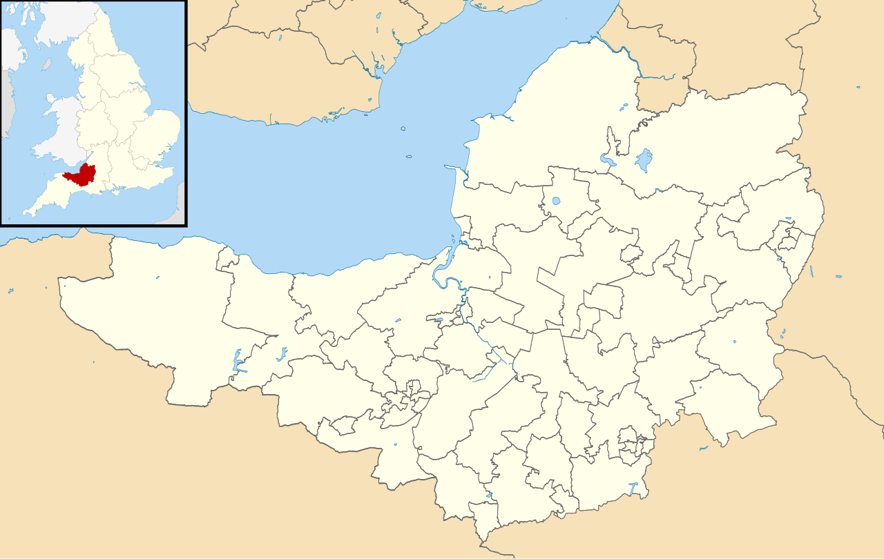
| current | 00:39, 10 October 2010 | | 1,425 × 901 (1.69 MB) | commons>Nilfanion | {{Information |Description=Blank map of Somerset, UK with electoral divisions shown. Equirectangular map projection on WGS 84 datum, with N/S stretched 155% Geographic limits: *West: 3.96W *East: 2.12W *North: 51.55N *South: 50.80N |Sourc |
File usage
There are no pages that use this file.
.svg)