File:Somerset Levels UK location map.svg
Jump to navigation
Jump to search

Size of this PNG preview of this SVG file: 663 × 599 pixels. Other resolutions: 266 × 240 pixels | 531 × 480 pixels | 849 × 768 pixels | 1,133 × 1,024 pixels | 2,265 × 2,048 pixels | 1,356 × 1,226 pixels.
Original file (SVG file, nominally 1,356 × 1,226 pixels, file size: 1,007 KB)
File history
Click on a date/time to view the file as it appeared at that time.
| Date/Time | Thumbnail | Dimensions | User | Comment | |
|---|---|---|---|---|---|
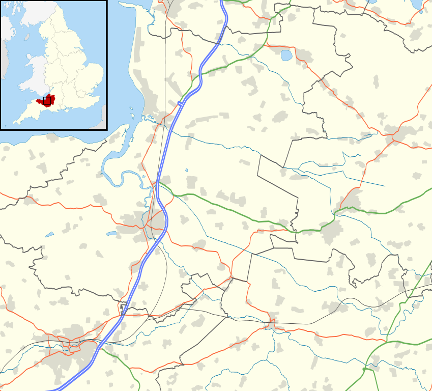
| current | 19:35, 14 March 2011 | | 1,356 × 1,226 (1,007 KB) | commons>Nilfanion | {{Information |Description=Map of the Somerset Levels, UK (and surrounding area) with the following information shown: *Administrative borders *Coastline, lakes and rivers *Roads and railways *Urban areas Equirectangular map project |
File usage
There are no pages that use this file.