File:Solander Islands New Zealand geographic map en.svg
Jump to navigation
Jump to search

Size of this PNG preview of this SVG file: 800 × 505 pixels. Other resolutions: 320 × 202 pixels | 640 × 404 pixels | 1,024 × 647 pixels | 1,280 × 808 pixels | 2,560 × 1,616 pixels | 2,851 × 1,800 pixels.
Original file (SVG file, nominally 2,851 × 1,800 pixels, file size: 91 KB)
File history
Click on a date/time to view the file as it appeared at that time.
| Date/Time | Thumbnail | Dimensions | User | Comment | |
|---|---|---|---|---|---|
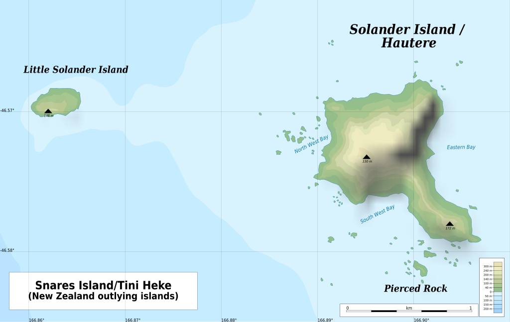
| current | 21:00, 15 February 2022 | | 2,851 × 1,800 (91 KB) | commons>Ikonact | == {{int:filedesc}} == {{Information |description={{en|1=Geographic map of {{W|Solander Islands}}, {{W|New Zealand}} Geographic limits of the map: * N: 46.562° S * S: 46.585° S * W: 166.857° E * E: 166.910° E}} |date=2022-02-15 |source={{own}} *Bathymetry: [https://data.linz.govt.nz/layer/51501-chart-nz-2411-solander-island-hautere/ Chart NZ 2411 Solander Island (Hautere): Land Information New Zealand] © Creative Commons Attribution 4.0 International *Relief: [https://data.linz.govt.nz/layer/... |
File usage
There are no pages that use this file.