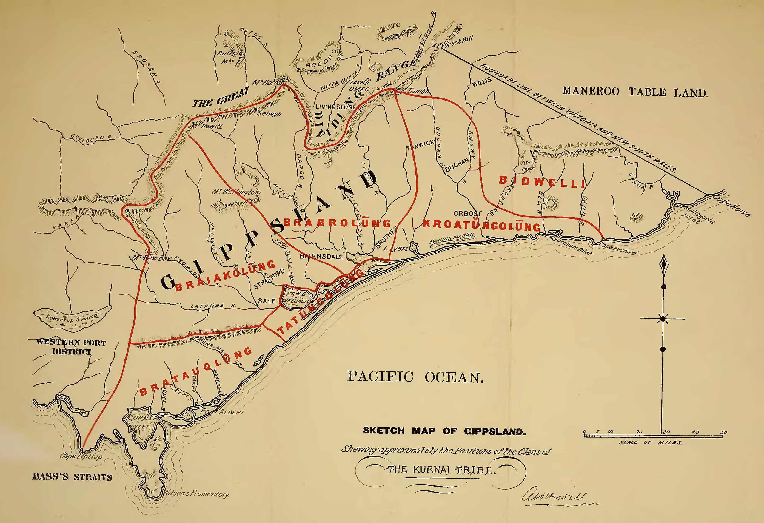
File:Sketch Map of Gippsland - Showing approximately the Positions of the Clans of the Kurnai Tribe.jpg

Original file (3,818 × 2,614 pixels, file size: 1.03 MB, MIME type: image/jpeg)
Summary
| Description |
English: Sketch Map of Gippsland - Showing approximately the Positions of the Clans of the Kurnai Tribe.jpg |
| Date | |
| Source | File:Kamilaroi and Kurnai.djvu p. 8 |
| Author | Fison, Lorimer, 1832-1907; Howitt, A. W. (Alfred William), 1830-1908 |
Licensing
|
This work is in the public domain in its country of origin and other countries and areas where the copyright term is the author's life plus 70 years or fewer.
| |
| This file has been identified as being free of known restrictions under copyright law, including all related and neighboring rights. | |
File history
Click on a date/time to view the file as it appeared at that time.
| Date/Time | Thumbnail | Dimensions | User | Comment | |
|---|---|---|---|---|---|
| current | 16:27, 12 September 2011 | | 3,818 × 2,614 (1.03 MB) | commons>Misarxist | {{Information |Description ={{en|1=Sketch Map of Gippsland - Showing approximately the Positions of the Clans of the Kurnai Tribe.jpg}} |Source =File:Kamilaroi and Kurnai.djvu p. 8 |Author =Fison, Lorimer, 1832-1907; Howitt, A. W. |
File usage
There are no pages that use this file.