File:Site of Glottenham Castle - geograph.org.uk - 1289904.jpg
Jump to navigation
Jump to search
No higher resolution available.
Site_of_Glottenham_Castle_-_geograph.org.uk_-_1289904.jpg (640 × 480 pixels, file size: 184 KB, MIME type: image/jpeg)
Summary
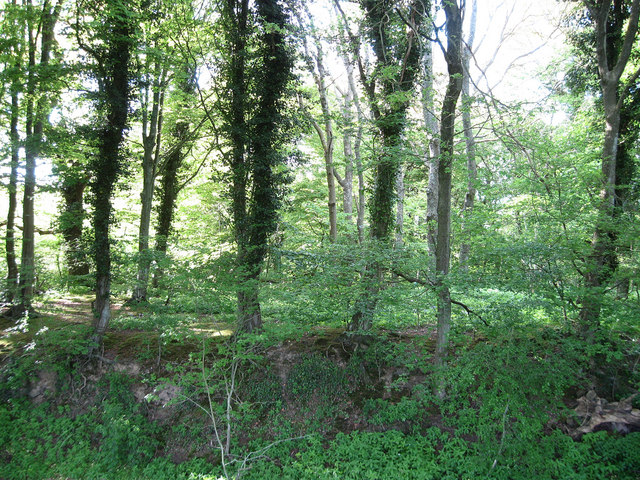
| Description |
English: Site of Glottenham Castle Only earthworks and part of the moat remain from a former 13th century fortified house that was abandoned sometime in the 16th-17th century. Viewed through a fence from the footpath that links Mountfield Lane and Glottenham Manor. |
| Date | |
| Source | From geograph.org.uk |
| Author | Simon Carey |
| Attribution (required by the license) | Simon Carey / Site of Glottenham Castle / |
| Camera location | | View this and other nearby images on: OpenStreetMap |
|---|
_heading:337.00&language=en)
| Object location | | View this and other nearby images on: OpenStreetMap |
|---|
_heading:337.00&language=en)
Licensing

|
This image was taken from the Geograph project collection. See this photograph's page on the Geograph website for the photographer's contact details. The copyright on this image is owned by Simon Carey and is licensed for reuse under the Creative Commons Attribution-ShareAlike 2.0 license.
|
This file is licensed under the Creative Commons Attribution-Share Alike 2.0 Generic license.
Attribution: Simon Carey
- You are free:
- to share – to copy, distribute and transmit the work
- to remix – to adapt the work
- Under the following conditions:
- attribution – You must give appropriate credit, provide a link to the license, and indicate if changes were made. You may do so in any reasonable manner, but not in any way that suggests the licensor endorses you or your use.
- share alike – If you remix, transform, or build upon the material, you must distribute your contributions under the same or compatible license as the original.

|
The categories of this image need checking. You can do so here.
|
File history
Click on a date/time to view the file as it appeared at that time.
| Date/Time | Thumbnail | Dimensions | User | Comment | |
|---|---|---|---|---|---|
| current | 07:08, 27 February 2011 | | 640 × 480 (184 KB) | commons>GeographBot | == {{int:filedesc}} == {{Information |description={{en|1=Site of Glottenham Castle Only earthworks and part of the moat remain from a former 13th century fortified house that was abandoned sometime in the 16th-17th century. Viewed through a fence from the |
File usage
There are no pages that use this file.