File:Silverpit crater seismic map.jpg
Jump to navigation
Jump to search

Size of this preview: 636 × 599 pixels. Other resolutions: 255 × 240 pixels | 509 × 480 pixels | 679 × 640 pixels.
Original file (679 × 640 pixels, file size: 154 KB, MIME type: image/jpeg)
File history
Click on a date/time to view the file as it appeared at that time.
| Date/Time | Thumbnail | Dimensions | User | Comment | |
|---|---|---|---|---|---|
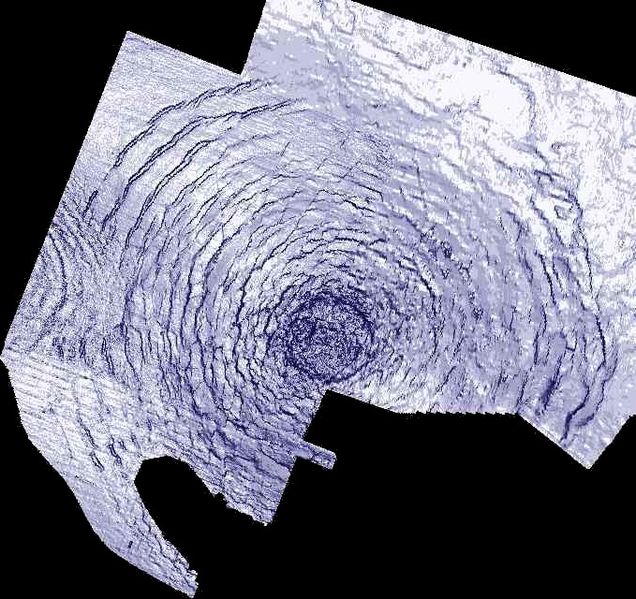
| current | 23:45, 19 May 2005 | | 679 × 640 (154 KB) | commons>Superborsuk | Silverpit crater seismic map. Released under the GFDL with the permission of the copyright holders. Credit and copyright: Phil Allen (Production Geoscience Ltd) and Simon Stewart (BP). {{GFDL}} |
File usage
There are no pages that use this file.