File:Signal Mountain TX 1900.jpg
Jump to navigation
Jump to search
Size of this preview: 800 × 564 pixels. Other resolutions: 320 × 225 pixels | 640 × 451 pixels | 1,024 × 721 pixels | 1,280 × 902 pixels | 2,000 × 1,409 pixels.
Original file (2,000 × 1,409 pixels, file size: 2.31 MB, MIME type: image/jpeg)
File history
Click on a date/time to view the file as it appeared at that time.
| Date/Time | Thumbnail | Dimensions | User | Comment | |
|---|---|---|---|---|---|
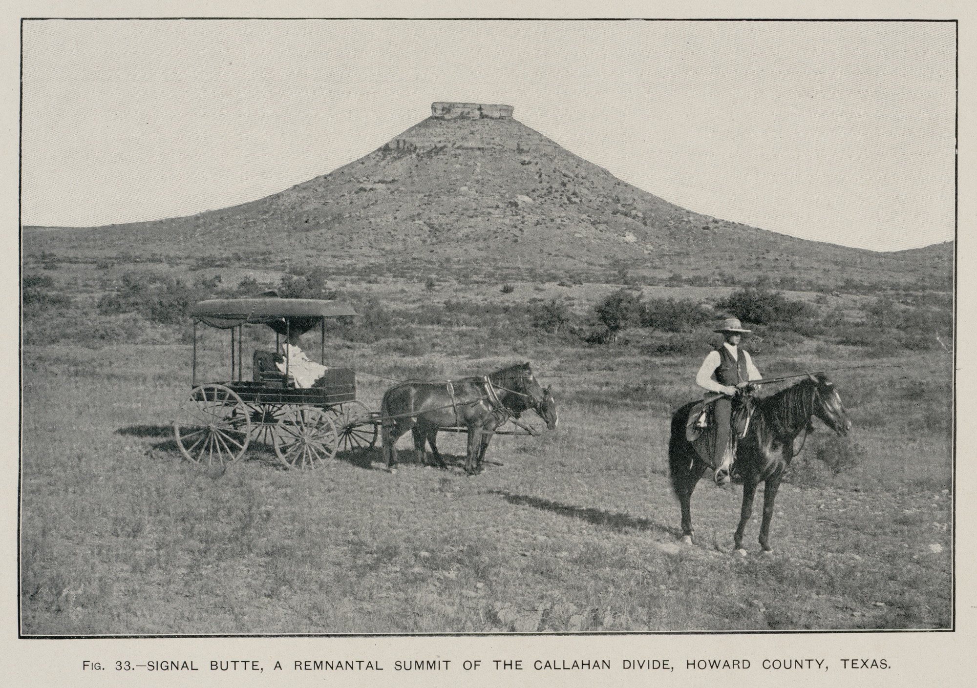
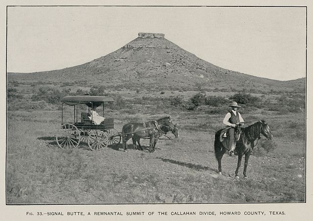
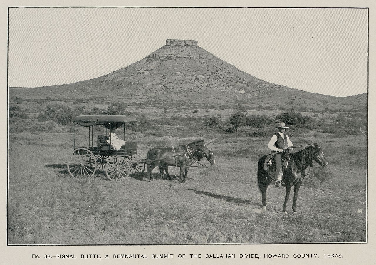
| current | 04:44, 11 June 2009 | | 2,000 × 1,409 (2.31 MB) | commons>Leaflet | {{Information |Description={{en|1=Signal Peak near Big Spring, Texas (Texas Geological Survey, 1889) (USGS photo, 1900)}} |Source=Hill, R.T. 1900. Topographic atlas of the United States: Physical geography of the Texas region. United States Department of |
File usage
There are no pages that use this file.