File:SiegeAlesia.png
Jump to navigation
Jump to search
Size of this preview: 693 × 599 pixels. Other resolutions: 278 × 240 pixels | 555 × 480 pixels | 977 × 845 pixels.
Original file (977 × 845 pixels, file size: 46 KB, MIME type: image/png)

|
This map image could be re-created using vector graphics as an SVG file. This has several advantages; see Commons:Media for cleanup for more information. If an SVG form of this image is available, please upload it and afterwards replace this template with
{{vector version available|new image name}}.
It is recommended to name the SVG file “SiegeAlesia.svg”—then the template Vector version available (or Vva) does not need the new image name parameter. |
Summary
| Description |
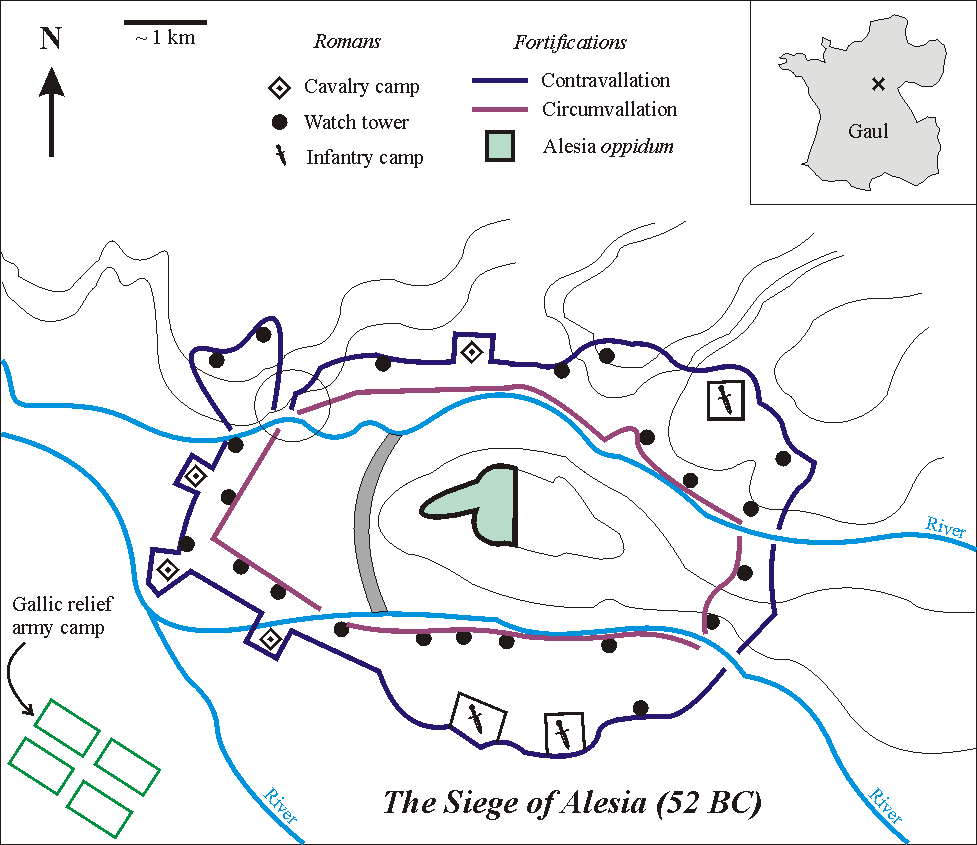
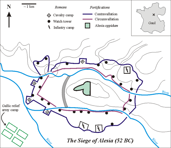
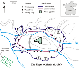
English: Sketch of the Battle of Alesia, drawn by Muriel Gottrop in December 2004. Inbox: cross shows location of Alesia in Gaul (modern France). The open circle shows the weakness in the contravallation line
Deutsch: Skizze der Schlacht um Alesia von Muriel Gottrop, Dezember 2004. Der Kartenausschnitt zeigt die Lage von Alesia in Gallien (heute Frankreich). Der offene Kreis zeigt die Schwachstelle in der Contravallation
Español: Las fortificaciones construidas por César en Alesia de acuerdo a la hipótesis de localización en Alise-Sainte-Reine En el mapa de la esquina la cruz muestra la localización de Alesia en la Galia (hoy Francia). En el esquema, el círculo muestra el punto débil en la circunvalación |
| Source | |
| Author | Muriel Gottrop at English Wikipedia |
| Other versions |
[]
|


This file is licensed under the Creative Commons Attribution-Share Alike 1.0 Generic license.
- You are free:
- to share – to copy, distribute and transmit the work
- to remix – to adapt the work
- Under the following conditions:
- attribution – You must give appropriate credit, provide a link to the license, and indicate if changes were made. You may do so in any reasonable manner, but not in any way that suggests the licensor endorses you or your use.
- share alike – If you alter, transform, or build upon this work, you must distribute the resulting work under the same license as the original.
File history
Click on a date/time to view the file as it appeared at that time.
| Date/Time | Thumbnail | Dimensions | User | Comment | |
|---|---|---|---|---|---|
| current | 12:03, 2 December 2004 | | 977 × 845 (46 KB) | commons>Muriel Gottrop~commonswiki | Sketch of the Battle of Alesia, drawn by Muriel Gottrop in December 2004. {{GFDL}} |
File usage
There are no pages that use this file.