File:Shiretokodake Relief Map, SRTM-1.jpg
Jump to navigation
Jump to search

Size of this preview: 450 × 600 pixels. Other resolutions: 180 × 240 pixels | 600 × 800 pixels.
Original file (600 × 800 pixels, file size: 189 KB, MIME type: image/jpeg)
File history
Click on a date/time to view the file as it appeared at that time.
| Date/Time | Thumbnail | Dimensions | User | Comment | |
|---|---|---|---|---|---|
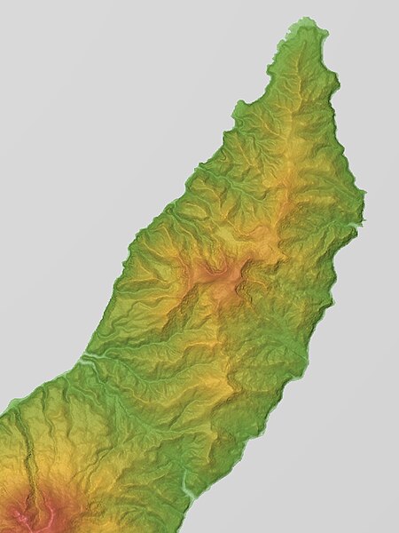
| current | 17:00, 6 March 2016 | | 600 × 800 (189 KB) | commons>Batholith | {{Information |Description= {{en|Relief map of volcano Mount Shiretoko, Shiretoko Peninsula, Hokkaido, Japan. Data from "SRTM-1 (30m Mesh) Ve... |
File usage
There are no pages that use this file.