File:Shetland Fair Isle locator.svg
Jump to navigation
Jump to search

Size of this PNG preview of this SVG file: 315 × 599 pixels. Other resolutions: 126 × 240 pixels | 252 × 480 pixels | 404 × 768 pixels | 538 × 1,024 pixels | 1,077 × 2,048 pixels | 832 × 1,582 pixels.
Original file (SVG file, nominally 832 × 1,582 pixels, file size: 1.64 MB)
File history
Click on a date/time to view the file as it appeared at that time.
| Date/Time | Thumbnail | Dimensions | User | Comment | |
|---|---|---|---|---|---|
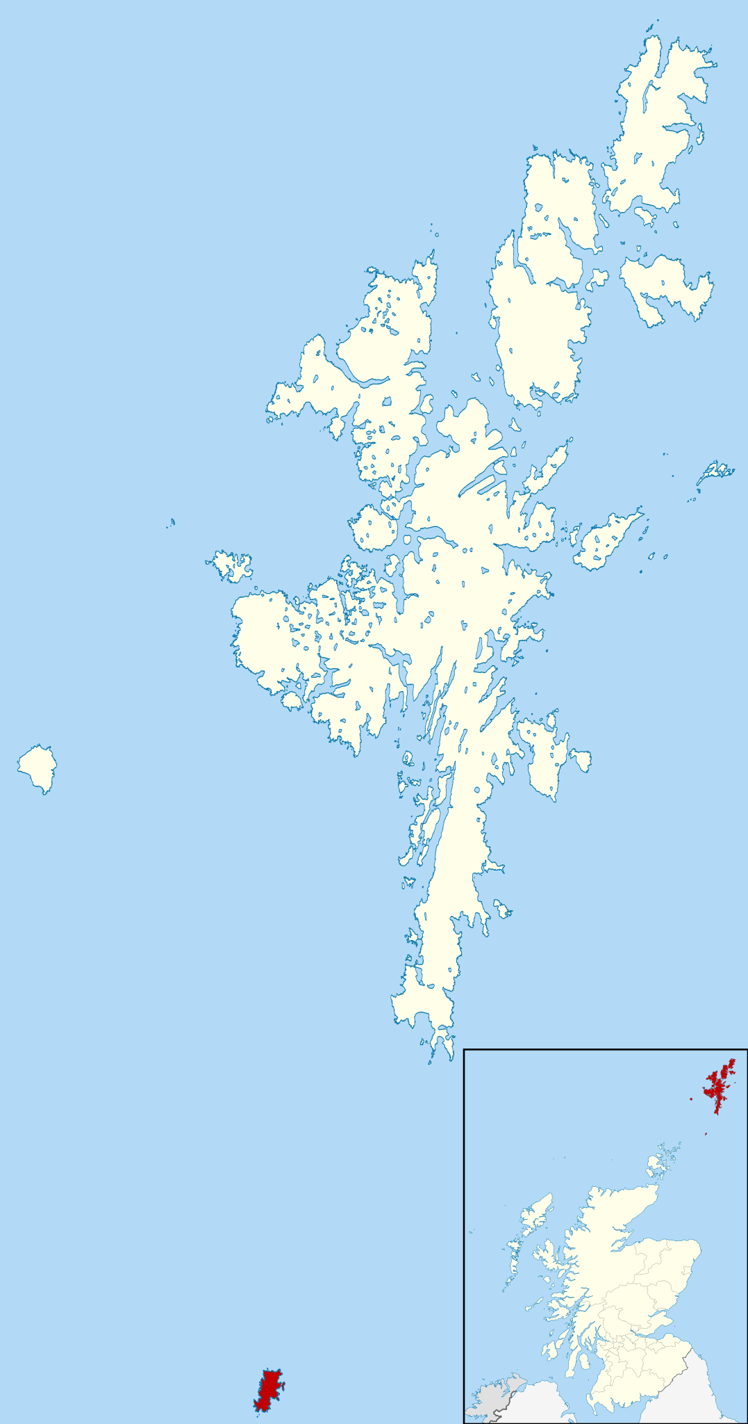
| current | 10:15, 2 September 2010 | | 832 × 1,582 (1.64 MB) | commons>Nilfanion | {{Information |Description=Map of the Shetland Islands, UK, with Fair Isle highlighted. Equirectangular map projection on WGS 84 datum, with N/S stretched 200% Geographic limits: *West: 2.15W *East: 0.70W *North: 6 |
File usage
There are no pages that use this file.