File:Sentinel-Range-location-map.png
Jump to navigation
Jump to search
Size of this preview: 761 × 599 pixels. Other resolutions: 305 × 240 pixels | 610 × 480 pixels | 975 × 768 pixels | 1,280 × 1,008 pixels | 1,600 × 1,260 pixels.
Original file (1,600 × 1,260 pixels, file size: 3.04 MB, MIME type: image/png)
File history
Click on a date/time to view the file as it appeared at that time.
| Date/Time | Thumbnail | Dimensions | User | Comment | |
|---|---|---|---|---|---|
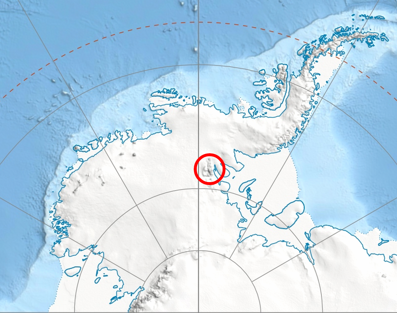
| current | 19:15, 9 July 2010 | | 1,600 × 1,260 (3.04 MB) | commons>Apcbg | {{Information |Description={{en|Location of en:Sentinel Range in en:Western Antarctica.}} |Source=*File:Antarctica_relief_location_map.jpg |Date=2010-07-09 18:30 (UTC) |Author=*File:Antarctica_relief_location_map.jpg: [[User:Alexrk2| |
File usage
There are no pages that use this file.