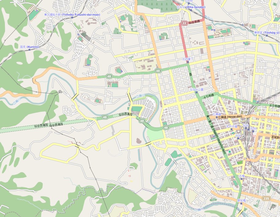
File:Sendai Map.jpg
Jump to navigation
Jump to search
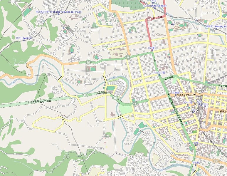
Size of this preview: 773 × 599 pixels. Other resolutions: 310 × 240 pixels | 619 × 480 pixels | 912 × 707 pixels.
Original file (912 × 707 pixels, file size: 178 KB, MIME type: image/jpeg)
File history
Click on a date/time to view the file as it appeared at that time.
| Date/Time | Thumbnail | Dimensions | User | Comment | |
|---|---|---|---|---|---|
| current | 19:56, 30 April 2011 | | 912 × 707 (178 KB) | commons>XIIIfromTOKYO | {{Information |Description ={{en|1=Map of Sendai, Miyagi-ken, Japan}} {{fr|1=carte de Sendai, préfecture de Miyagi, Japon}} |Source =Map:OpenStreetMap |Author =Map:OpenStreetMap contributors |Date =20110430 |Permission ={ |
File usage
There are no pages that use this file.