File:Scrapped manholes and covers in Brastad.jpg
Jump to navigation
Jump to search

Size of this preview: 800 × 418 pixels. Other resolutions: 320 × 167 pixels | 640 × 335 pixels | 1,024 × 535 pixels | 1,280 × 669 pixels | 2,560 × 1,339 pixels | 4,703 × 2,459 pixels.
Original file (4,703 × 2,459 pixels, file size: 10.02 MB, MIME type: image/jpeg)
Summary
| Description |
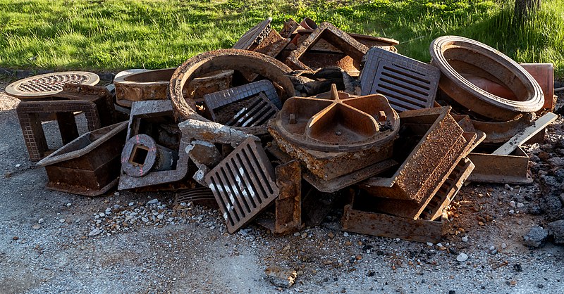
English: Scrapped manholes and covers during road works on the main road through Brastad, Sweden. The road and sidewalks are being repaved. The old layer of asphalt has been stripped/torn away and the old manholes and their covers have been removed. The road is not closed during work but the speed limit has been lowered to 30 km/h and sometimes traffic is being directed by road work guards. |
| Date | |
| Source | Own work |
| Author | W.carter |
| Camera location | | View this and other nearby images on: OpenStreetMap |
|---|
Licensing
I, the copyright holder of this work, hereby publish it under the following license:
| This file is made available under the Creative Commons CC0 1.0 Universal Public Domain Dedication. | |
| The person who associated a work with this deed has dedicated the work to the public domain by waiving all of their rights to the work worldwide under copyright law, including all related and neighboring rights, to the extent allowed by law. You can copy, modify, distribute and perform the work, even for commercial purposes, all without asking permission.
|
File history
Click on a date/time to view the file as it appeared at that time.
| Date/Time | Thumbnail | Dimensions | User | Comment | |
|---|---|---|---|---|---|
| current | 22:09, 13 December 2018 | | 4,703 × 2,459 (10.02 MB) | commons>W.carter | User created page with UploadWizard |
File usage
There are no pages that use this file.