File:Schiebroek 1865.png
Jump to navigation
Jump to search

Size of this preview: 478 × 600 pixels. Other resolutions: 191 × 240 pixels | 382 × 480 pixels | 612 × 768 pixels | 816 × 1,024 pixels | 1,300 × 1,631 pixels.
Original file (1,300 × 1,631 pixels, file size: 123 KB, MIME type: image/png)
File history
Click on a date/time to view the file as it appeared at that time.
| Date/Time | Thumbnail | Dimensions | User | Comment | |
|---|---|---|---|---|---|
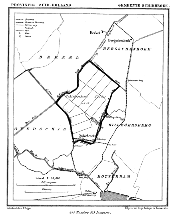
| current | 17:43, 20 July 2007 | | 1,300 × 1,631 (123 KB) | commons>P199 | {{Information |Description=Historic map of Schiebroek (now part of municipality Rotterdam), South Holland, the Netherlands |Source=Gemeente Atlas van Nederland (Municipal Atlas of the Netherlands) |Date=1865-1870 |Author=J. Kuyper |Permission= |other_vers |
File usage
There are no pages that use this file.