File:Satellite image of Spain in January 2003.jpg
Jump to navigation
Jump to search

Size of this preview: 714 × 600 pixels. Other resolutions: 286 × 240 pixels | 571 × 480 pixels | 914 × 768 pixels | 1,219 × 1,024 pixels | 2,437 × 2,048 pixels | 4,175 × 3,508 pixels.
Original file (4,175 × 3,508 pixels, file size: 2.42 MB, MIME type: image/jpeg)
File history
Click on a date/time to view the file as it appeared at that time.
| Date/Time | Thumbnail | Dimensions | User | Comment | |
|---|---|---|---|---|---|
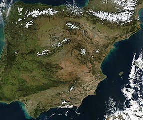
| current | 12:54, 20 December 2004 | | 4,175 × 3,508 (2.42 MB) | commons>Hautala | {{PD-USGov-NASA}} Satellite image of Spain in January 2003. Slightly cropped image, original taken from NASA's Visible Earth http://visibleearth.nasa.gov/cgi-bin/viewrecord?24848 . Description: The Iberian Peninsula, home to the countries of Spain and Por |
File usage
There are no pages that use this file.