File:Satellite image of Philippines in March 2002.jpg
Jump to navigation
Jump to search

Size of this preview: 460 × 600 pixels. Other resolutions: 184 × 240 pixels | 368 × 480 pixels | 589 × 768 pixels | 785 × 1,024 pixels | 1,570 × 2,048 pixels | 4,600 × 6,000 pixels.
Original file (4,600 × 6,000 pixels, file size: 3.58 MB, MIME type: image/jpeg)
File history
Click on a date/time to view the file as it appeared at that time.
| Date/Time | Thumbnail | Dimensions | User | Comment | |
|---|---|---|---|---|---|
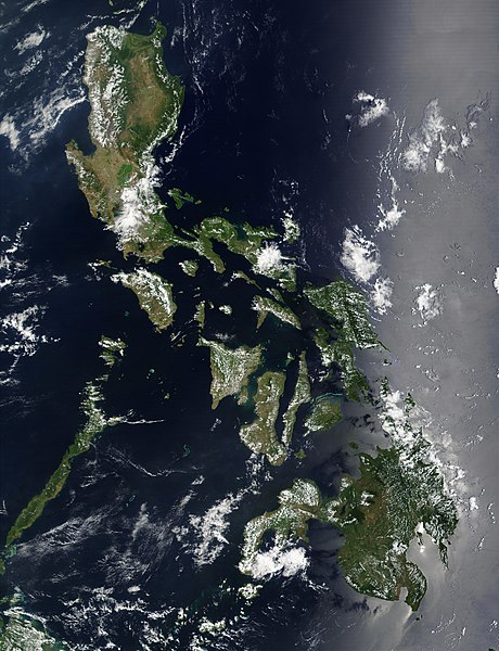
| current | 11:32, 21 December 2004 | | 4,600 × 6,000 (3.58 MB) | commons>Hautala | {{PD-USGov-NASA}} Satellite image of Philippines in March 2002. Taken from NASA's Visible Earth http://visibleearth.nasa.gov/cgi-bin/viewrecord?12847 . Description: Red dots (or outlines in the high-resolution imagery) indicate MODIS9 detection of thermal |
File usage
There are no pages that use this file.