File:Satellite image of Norway in February 2003.jpg
Jump to navigation
Jump to search

Size of this preview: 511 × 600 pixels. Other resolutions: 204 × 240 pixels | 409 × 480 pixels | 654 × 768 pixels | 873 × 1,024 pixels | 1,745 × 2,048 pixels | 4,960 × 5,820 pixels.
Original file (4,960 × 5,820 pixels, file size: 5.81 MB, MIME type: image/jpeg)
File history
Click on a date/time to view the file as it appeared at that time.
| Date/Time | Thumbnail | Dimensions | User | Comment | |
|---|---|---|---|---|---|
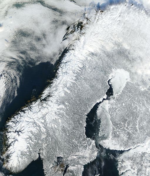
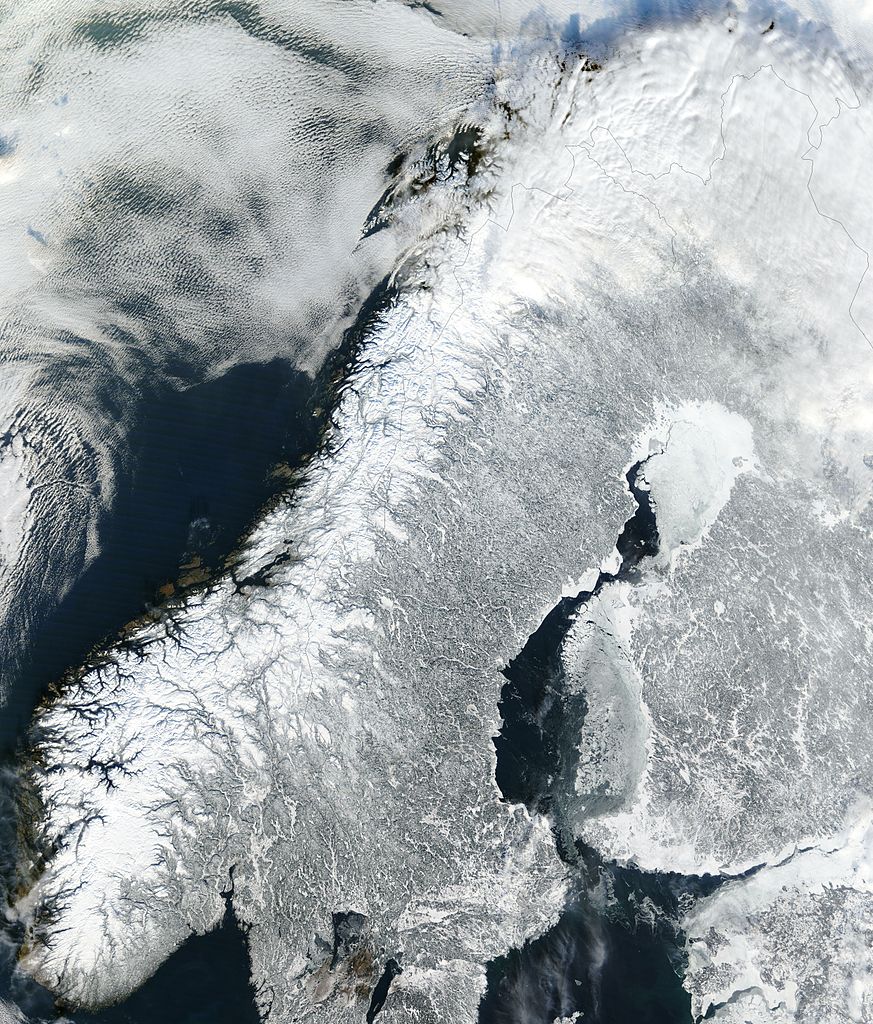
| current | 17:40, 23 January 2005 | | 4,960 × 5,820 (5.81 MB) | commons>Hautala | {{PD-USGov-NASA}} Satellite image of continental Norway in February 2003. Cropped image, original taken from NASA's Visible Earth http://visibleearth.nasa.gov/cgi-bin/viewrecord?24856 |
File usage
There are no pages that use this file.