File:Satellite Image of Kumtag Desert 92.65632E 39.91302N.png
Jump to navigation
Jump to search

Size of this preview: 800 × 386 pixels. Other resolutions: 320 × 154 pixels | 640 × 309 pixels | 1,282 × 618 pixels.
Original file (1,282 × 618 pixels, file size: 1.57 MB, MIME type: image/png)
File history
Click on a date/time to view the file as it appeared at that time.
| Date/Time | Thumbnail | Dimensions | User | Comment | |
|---|---|---|---|---|---|
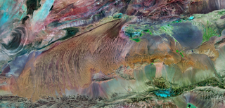
| current | 16:24, 7 July 2009 | | 1,282 × 618 (1.57 MB) | commons>Camphora | {{Information |Description={{en|1=Satellite Image of Kumtag Desert, China }} {{zh|1=库姆塔格沙漠卫星影像,上北下南 最左侧的大耳朵为罗布泊,最右侧的小块沙� |
File usage
There are no pages that use this file.