File:SaskatchewanHighwayMap711.png
Jump to navigation
Jump to search

Size of this preview: 800 × 443 pixels. Other resolutions: 320 × 177 pixels | 640 × 355 pixels | 913 × 506 pixels.
Original file (913 × 506 pixels, file size: 491 KB, MIME type: image/png)
File history
Click on a date/time to view the file as it appeared at that time.
| Date/Time | Thumbnail | Dimensions | User | Comment | |
|---|---|---|---|---|---|
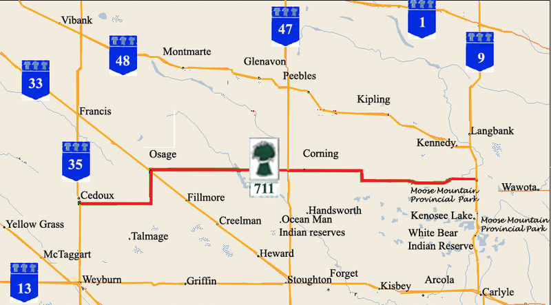
| current | 20:55, 1 February 2009 | | 913 × 506 (491 KB) | commons>SriMesh | {{Information |Description={{en|1=Saskatchewan Highway 711 map Vibank, Montmarte, Glenavon, Peebles, Francis, Osage, corning, Kennedy, Langbank, Wawota, Moose Mountain provincial park, Kenosee Lake, White Bear Indian Rese |
File usage
There are no pages that use this file.