File:SaoPaulo Municip Santos.svg
Jump to navigation
Jump to search

Size of this PNG preview of this SVG file: 800 × 540 pixels. Other resolutions: 320 × 216 pixels | 640 × 432 pixels | 1,024 × 691 pixels | 1,280 × 864 pixels | 2,560 × 1,728 pixels.
Original file (SVG file, nominally 1,024 × 691 pixels, file size: 1.19 MB)
File history
Click on a date/time to view the file as it appeared at that time.
| Date/Time | Thumbnail | Dimensions | User | Comment | |
|---|---|---|---|---|---|
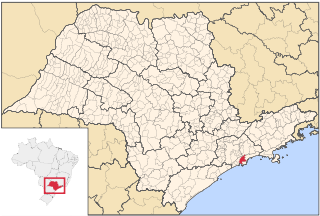
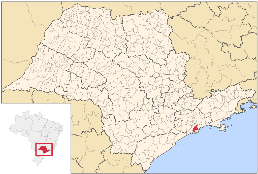
| current | 14:28, 21 August 2006 | | 1,024 × 691 (1.19 MB) | commons>Srfortes | {{User:Raphael.lorenzeto/DerivativeMaps}} {{Information| |Description='''English:''' Map locator of São Paulo's Santos city, Brazil.<br> '''Português:''' Mapa de localização do Município de Santos no Estado de São Paulo, Brasil. |Source=[[:Image:Sao |
File usage
There are no pages that use this file.