File:Santa lucia praslin political.png
Jump to navigation
Jump to search

Size of this preview: 424 × 599 pixels. Other resolutions: 170 × 240 pixels | 339 × 480 pixels | 733 × 1,036 pixels.
Original file (733 × 1,036 pixels, file size: 23 KB, MIME type: image/png)
File history
Click on a date/time to view the file as it appeared at that time.
| Date/Time | Thumbnail | Dimensions | User | Comment | |
|---|---|---|---|---|---|
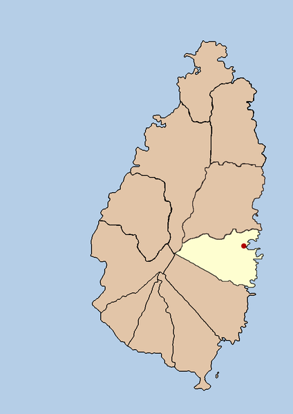
| current | 03:42, 21 September 2005 | | 733 × 1,036 (23 KB) | commons>Doviende~commonswiki | this is a political map showing the quarter of Praslin on the island nation of Santa Lucia. I created it myself by using the GIMP to trace [http://www.lib.utexas.edu/maps/americas/saint_lucia.gif a public domain map that i found] at the Perry-Castañ |
File usage
There are no pages that use this file.